NBAcentel
Member
Yo these hrrr colder trends are really impressive aloft and at the sfc
Normally we could handle these winds but they are coming in that “Hugo like direction”
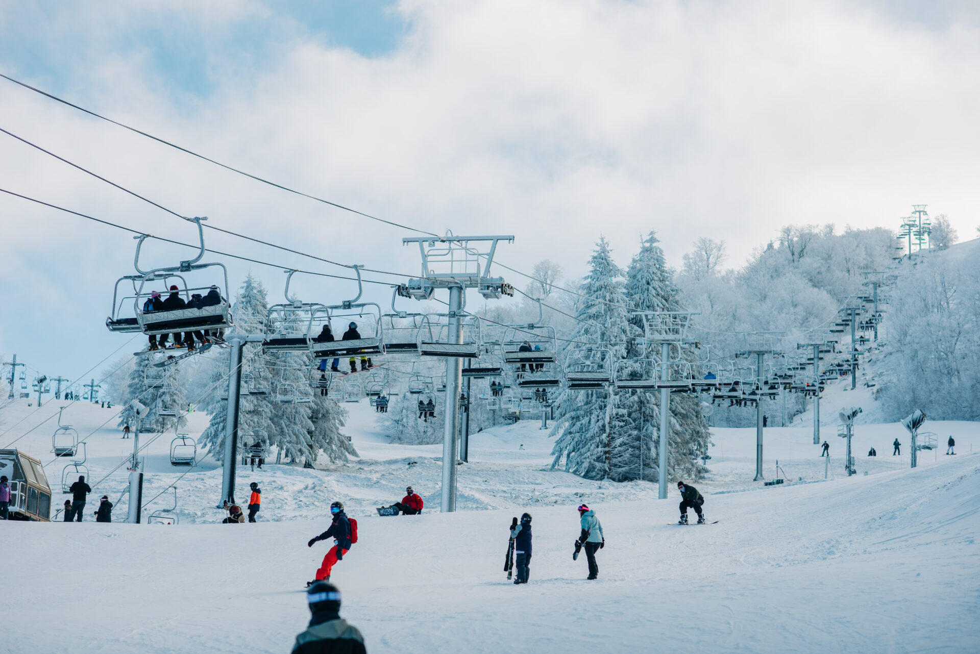
 www.beechmountainresort.com
The usual TWC panic mode. State of Emergency allows the state to use certain resources. I wish they would change it or have a lesser adjective for certain events.My hubby turned on TWC and it said state of emergency for GA. SC, NC and I believe VA.... Interesting...I had no idea...
I’m a little shook. This one is going to be tough to drive out of Monday’s might stay til Tuesday if needed.@Jimmy Hypocracy GSP: The Winter Storm will not only cause major ice accumulations across the NC/SC/GA piedmont, there will be heavy snow accumulations across the NC/SC/GA mountains and foothills with sleet/freezing rain mixing in. With more ice expected, snow totals have decreased in this latest update. #scwx #ncwx #gawx
They really are and I sent you a PM about it with a question if you got a minute. The odd thing is I didn’t see GSP reference the HRRR any in their discussion and all the short range models appear to be moving towards itYo these hrrr colder trends are really impressive aloft and at the sfc

Probably Zeta but that may have been a TS warning.Anyone have the last time atlanta was under a high wind warning?
Bring it!!!!Meanwhile, the ULL wants to go to the Mardis GrasThis pig is still digging!
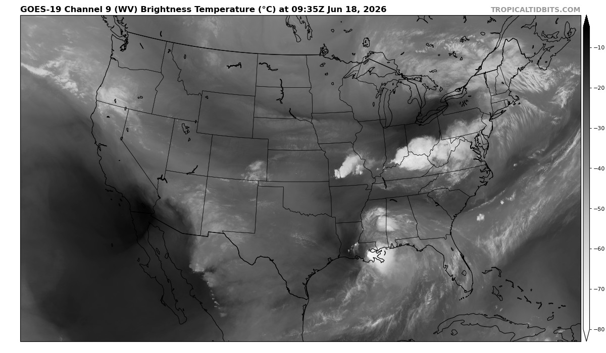
Water Vapor Satellite Loop for United States | Tropical Tidbits
United States Water Vapor Satellite Loopwww.tropicaltidbits.com
dude can you post some maps or evidence of what a high risk is or means? Or is that just your thinking?Gonna go off a limb here and say a exceptional dangerous High Risk will be issued in the morning for southern Winston-Salem, southern GSO, down into Asheboro zoo area could be a war zone. This “could” extend into western Raleigh metro and north-eastern Charlotte metro.


I can’t get the WPC moderate risk to load but I believe it’s up to 0.5”. I think they consider High Risk over half inch of thick ice.Moderate risk of what
dude can you post some maps or evidence of what a high risk is or means? Or is that just your thinking?


You’ve made your position clear on this. You need to chill out and post much less often in this thread. We get it.A lot of people live in Winston-Salem and Greensboro but their local Mets have not been showing the ice threat much for those cities. I wish Moderate Risks and WPC in general were used more on TV versus showing the public the gfs snow map.
HRRR and The 3k NAM are definitely trending colder just as NWS gsp lowers snow totals and raises ice. Think they may have made a mistake
Sent from my iPhone using Tapatalk
Probably Zeta but that may have been a TS warning.
 ️
️ 
We live in the same place!I live a mile beneath 85. This could get interesting before eventually changing to all sleet/frzn rain


Remains to be seen… most likely no real effect to overall outcomeThis better news for bham metro?
New snow forecast from WSB TV:View attachment 106141


Dang, every county in West Virginia is under a Winter Storm Warning. Impressive!!!View attachment 106115
We now have (Winter related) Warnings and Advisories in every state in the South, except TX and FL. (Even LA snuck in a few counties in the NE corner.)
Good luck everyone!