• Hello, please take a minute to check out our awesome content, contributed by the wonderful members of our community. We hope you'll add your own thoughts and opinions by making a free account!

Pattern Mega March 2023

Just noticed that none of the 3 GSP stations (GSP, AVL, CLT) have recorded a temp of 32 or below since 2/18. Pretty crazy when even AVL hasn't been below freezing in nearly 3 weeks! :eek:
Same here. Last freezing temp was 19 degrees on February 18th. The closest I’ve been was 33 degrees a few nights back. January 2017 was the last time I had a stretch this long without freezing temps in the winter. 2017 was worse because that stretch was in January and in the dead of winter. I think the streak will be over here on Saturday morning.
 
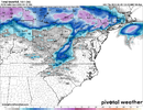
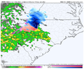
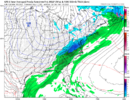
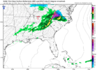
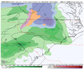
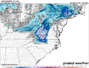
Looking at the maps I think most of this is sleet or cold rain registering as snow but fun to look at sn10_acc-imp.us_ma (2).png
 
Seems like temps trending up as the forecasts become more near term. The mid 40’s we are looking at next weekend likely end up in the upper 50’s. Solar radiation is too strong.


Sent from my iPhone using Tapatalk
 
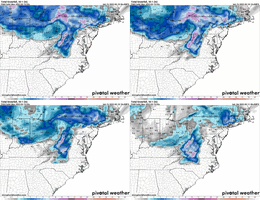
one of my favorite things about owning cats is doing this thing with them where i dangle a toy in front of them and they get all excited and chase it and right as they jump and think they have it, i yank it away and they wonder what the hell just happened. don't worry, there's no connection between that anecdote and this snowmap ;)
 
one of my favorite things about owning cats is doing this thing with them where i dangle a toy in front of them and they get all excited and chase it and right as they jump and think they have it, i yank it away and they wonder what the hell just happened. don't worry, there's no connection between that anecdote and this snowmap ;)
The red laser dot works better. When you shut it off, just whoosh, disappears. Gone
 
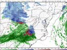
Snow is on the NWS point forecast for the Triad now. Looks like a decent chance some N/W NC folks could see their first flakes of the winter this weekend and avoid the shutout. Doubt there will be accumulations, though, and I’m not very hopeful for anything out my way in the Triangle, but we shall see.
 
Personally I am ready for Spring now, I don't really want March snow as they tend to be slushy type and vanishes quickly. Knowing the Climo of the past 30 years, I think it likely that is what we see again here.
 
If that precip can get here even faster than currently modeled we have a legit chance here in the NC piedmont to get a sloppy surprise Sunday morning. For now we’re seeing all the fun in the long range of the short range models so let’s see the same stuff by tomorrow night and I’ll bite on my March snow ?
 
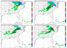
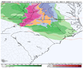
At least inside 48 hours you have a better chance. 3k NAM was only ice here. 12k at least had some snow. I think I will hug RGEM if it holds. HRRR looked decent too.
In my time watching models NAM 3k tends to overdo upper level thermals
 
Back
Top