Fountainguy97
Member
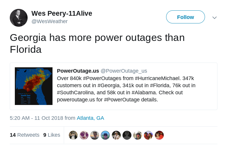
So how is everyone’s power holding up I haven’t seen any real massive outages in Georgia or SC
Sent from my iPhone using Tapatalk
I was just wondering if Mack got enough wind to fly his kite.So how is everyone’s power holding up I haven’t seen any real massive outages in Georgia or SC
Sent from my iPhone using Tapatalk
All good in Charleston. Wind and rain between 3am and 5am were more serious than anything else today.So how is everyone’s power holding up I haven’t seen any real massive outages in Georgia or SC
Sent from my iPhone using Tapatalk
So how is everyone’s power holding up I haven’t seen any real massive outages in Georgia or SC
Sent from my iPhone using Tapatalk

Stuff has picked up over here in N. Charlotte too.Picking up for sure here in Charlotte. After dying down in the late morning it's gotten much more squally over the past 30 minutes or so. Power just flickered at the office (south Charlotte, almost Pineville) and I imagine we'll see more of that before things quiet down for good.

Now that it's game time for that line of intense wind to start developing, the HRRRRRR backs off. Probably see some 40-50 mph gusts max roll through later.
Go with Webber over me. I was bittercasting the model for its inconsistency.So the NWS was right as usual.
Sent from my iPhone using Tapatalk
So the NWS was right as usual.
Sent from my iPhone using Tapatalk
Griteater from american just told me he lost power in north-central Mecklenburg.
Now that it's game time for that line of intense wind to start developing, the HRRRRRR backs off. Probably see some 40-50 mph gusts max roll through later.
Also known as a Mack impersonationGo with Webber over me. I was bittercasting the model for its inconsistency.
I'm on vacation in the mountains and I got a notification my power is out at my house in northwest Charlotte from my security system.Seemingly right on cue, power is starting to flicker at my place.
Seeing all these emergency manager reports that Allan is tweeting out and there appears to be numerous trees down across the state already.
Sent from my SM-G920V using Tapatalk
Apparently Matthews just gusted to 62 mph I’ve had power flicker on and off several times the past 30 minutes somehow I still have it
Yeah this is pretty bad it’s the equivalent of being in the heart of a severe thunderstorm for a couple hours, not fun.What’s crazy is hrrr and 3km NAM both peak this in a few hrs closer to Raleigh we may see some isolated 70mph gusts somewhere
Power is out at my house
Sent from my SM-G955U using Tapatalk

