WeatherAddiction
Member
I’m going through that remnant eye wall right now. Winds are increasing every minute.
Does not look like point and click forecasts from NWS are buying into that backside strong wind threat. I looked at places like Concord NC and Richmond VA and gust to 40? Maybe they know better...and they normally are rightBut there is a lot of different guidance showing much higher gusts than that.
Any idea when it should reach the Raleigh area? My office is closing at noon.
From the morning discussion at the NWS Raleigh:
"Its worth noting that the impacts from Michael may be more
significant than those of Florence across the Triad and
Triangle areas."

Any idea when it should reach the Raleigh area? My office is closing at noon.

From the morning discussion at the NWS Raleigh:
"Its worth noting that the impacts from Michael may be more
significant than those of Florence across the Triad and
Triangle areas."
He could be like my in-laws down in se Alabama. No power, no cell phones. Verizon was down in there area last night. We finally heard from them this morning.Paging @deltadog03 how'd you fair last night? Hopefully no major issues....
Man the hi res models are not wavering on that solid band of strong winds on the backside this evening, showing anywhere from 50-70 mph
I don't like the way it feels outside here. Feels ripe for tornadoes.

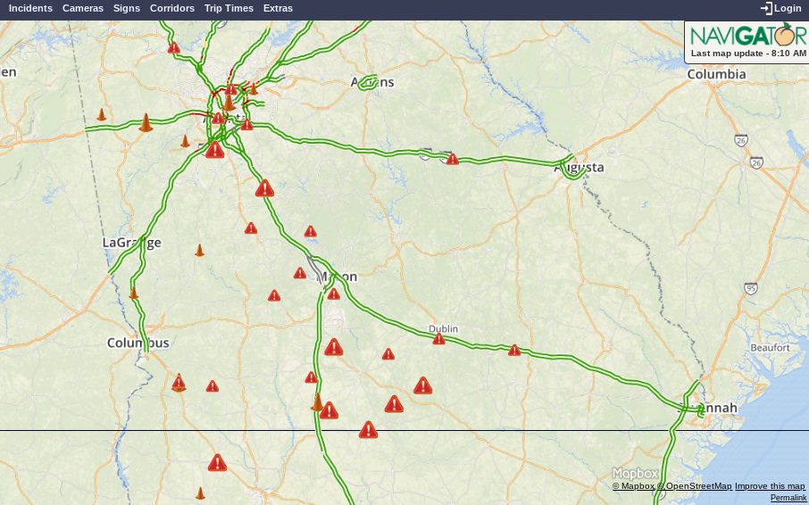
Can someone tell me what the timing looks like for when things start going downhill in the Triangle?
Yep
Sent from my SM-G920V using Tapatalk
Somehow we didn't loose power .I have a lot to clean up today after work.Paging @deltadog03 how'd you fair last night? Hopefully no major issues....
Man the hi res models are not wavering on that solid band of strong winds on the backside this evening, showing anywhere from 50-70 mph
You have a couple of us blocked? Myself and NCsnow responded earlier, probably 3 give or take an hour
Sent from my SM-G920V using Tapatalk

I'm getting worried about a couple of trees in my backyard, they were already weakened after Florence and now they are really starting to tilt.

I would estimate at around 25-35mph at the worst. I really hope that band modeled by the hrrr is overdone.What do you think your winds are gusting to right now? Just curious to see reality compared to what the models are showing
Sent from my SM-G920V using Tapatalk
I would estimate at around 25-35mph at the worst. I really hope that band modeled by the hrrr is overdone.
Sent from my Z983 using Tapatalk


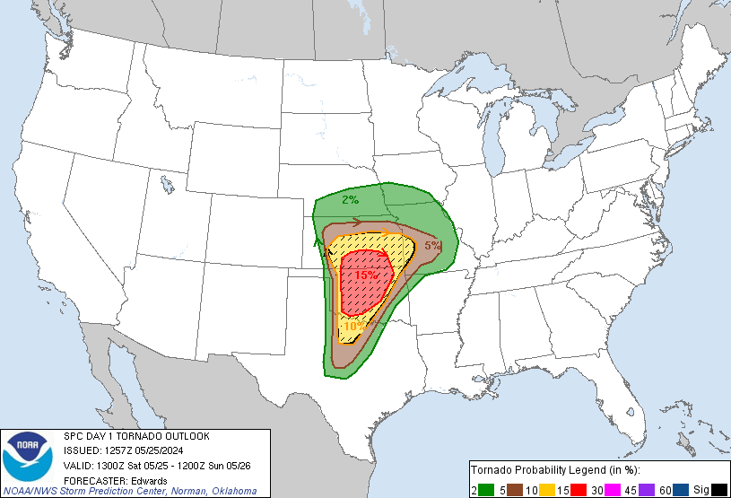
I hope everyone is all good! NC friends, heads up today. That TOR risk looks potentially nasty.
HRRR has an area of 80kts by hour 9 and moving through a heavily populated area. IF it's right or even close then it's going to be really, really bad. 90-95mph gusts will cause significant tree damage and power outages that no one is expecting.