• Hello, please take a minute to check out our awesome content, contributed by the wonderful members of our community. We hope you'll add your own thoughts and opinions by making a free account!

Pattern Januworry

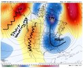
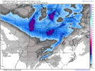
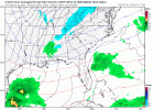
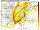
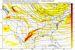
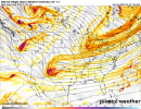
Also this...if we can hold pattern we’re going to have something to track mid January. She’s ripe, boys. Need a steep +PNA preferably with some split flow imo, energy diving out of Canada (common during Niña) and a wave entering Baja at our latitude. That’s the recipe for bigly success here. Always has been. Always will be.View attachment 101867
Gotta have the northern piece come down the stovepipe of Idaho
 
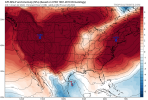
In the meantime, we have 3 glorious weeks of normal winter weather during the coldest month of the year climowise with this period averaging slightly BN temps and pretty close to normal precip. along with hints of Gulf activity. Compare this to where we were one month ago, when we were facing 4 weeks of mainly anywhere from solid AN to torch domination. Regardless of what does or doesn't happen after January 25th, I'm enjoying these last 2 days and am looking forward to the next 3 weeks, when 3-4 Arctic highs are likely to have a big influence.
It's that hint of gulf activity around mid month that has my attention. Take the cold placement of the 18Z with the low placement, but a bit further south, of the 12z and we've got something, lol. Or, or, it could just get some bitter cold in place and bring the gom low up into it, and cut out the suspense :) I vote for that. Like SnowJam. That's the ticket.
 
It is admittedly a very small sample and thus of almost no statistical credibility, but fwiw I found two similarly strengthed La Nina winters (1933-4 and 1971-2) that had mild Decembers each followed by a significant cooldown to a little above normal in January that had one very cold plunge mid to late month. Both of these winters ended up having a cold to very cold February along with quite a bit of wintry precip. (including lots of ZR in some areas), which went totally against La Nina climo. So, you never know.

Edit: One of those two Febs (Feb of 1934) even gave significant wintry precip down to north FL not far from @pcbjr 2/10-11.
 
Last edited:
I like it
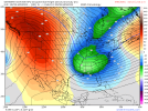
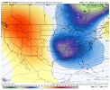
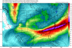
Don’t get me wrong I love the H5 pattern myself, but typically good patterns produce good snow means and I honestly have no explanation why it sucks with that look at H5, feel like we saw that last winter as well
 
Feel like theres 2 opportunities to score the next couple of weeks, first off with the trough over the SE/that Miller A look with the tall western ridge as the retrogression begins, then when we retrograde the ridge off the west coast and get a trough in the west but still have some sort of GL vortex/SE Canada vortex to act as confluence/CAA in the east before we retrograde to a shitter, then feb goes up in flames, then March becomes interesting
 
Don’t get me wrong I love the H5 pattern myself, but typically good patterns produce good snow means and I honestly have no explanation why it sucks with that look at H5, feel like we saw that last winter as well
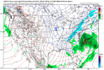
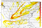
Looking at the mslp maps I think it's clipper dominated/late blooming. I would like to see at least one or 2 wild members in there but then again how many times have we had good means only to go to crap?
 
Back
Top