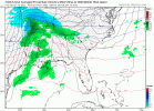
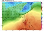
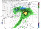
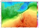
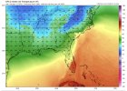
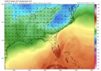
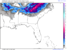
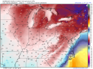
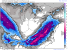
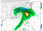
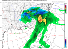
I know SLP location is pivotal, as well as the HP placement and strength. Having said that, what would lend itself to a solution like the Ukie runs from yesterday?
I think those UKMET runs AFTER they started coming North were probably sleet/zr on the snow maps. The weak suppressed runs were likely snow though. You need a traditional Miller-A traveling across North Central Florida and not trying to track inland over GA/parts of SC to get appreciable snow for the duration of the event. Basically a much less amped wave, a neutral tilt later than shown etc.
Edit: i'm speaking about the Midlands.


