• Hello, please take a minute to check out our awesome content, contributed by the wonderful members of our community. We hope you'll add your own thoughts and opinions by making a free account!

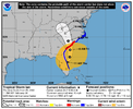
Tropical Hurricane Ian

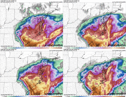
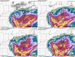
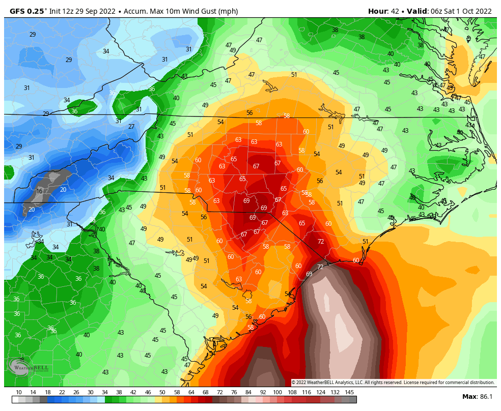
Started an inland impact thread since there is likely to be a widespread area of 3-5+ inch rain along with a low end tornado threat, and some gusty gradient winds
 
Just a few ?s I have:

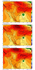
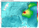
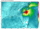
Why do the icon and gfs drop sfc pressure west of FL? Is that why they turn E?
What's the deal with the convective explosion north of the Bahamas on the gfs/icon is that why they turn E?
Are the answers to the questions above why the cmc stays due north?
Why does the uk beat the WAR back so much the system gets into the Atlantic before resuming a northward motion?
How does the upper level system north of the islands racing west affect the track if at all?
Venting as it nears the trough?
 
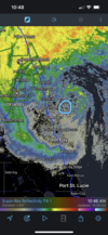
Once it gets that look with bands and big dry slots in between bands, it never seems to fill in or congeal. We will see. And there will likely be a big band of precip that makes it into the Carolinas, hundreds of miles away from the center
 
Back
Top