JHS
Member
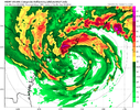
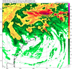
The dry slot is back. A big cut in rainfall for many unless this thing turns back east.
Lmao!! That’s not far away from slingshotting Ian across the state and into the Carolinas.
Yeah…and it doesn’t seem to matter where the storms comes in…near Tampa or further north at the Big Bend. Also I would be at all suprised to start see a larger shield of rain spread further north out ahead of the storm as we get closer leading to an earlier onset rain for the Carolinas. This would probably be something that the short range models pick up onYeah any model run that shows less than 3-4" is undervaluing QPF. Moisture from the Hurricane in the gulf, a moisture fetch from the atlantic riding a CAD dome will enhance rates and coverage as well as lift from the Southern and eastern facing slopes scream half a foot for a lot of people. That just seems like the most for sure thing right now as east and west LF tracks still bring the core over the areas inland.
GFS is way east of its own ensembles12Z GFS Ops is East of it's own ensemble, FWIW
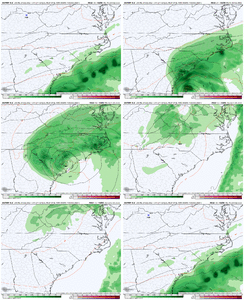
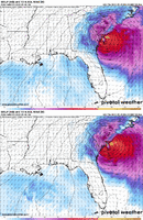
Heavy on the gulf camp it looks like.Gefs have really 3 distinct camps, one across FL and into the Atlantic, one either side of the west coast of FL, one still out in the gulfView attachment 122143
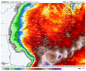
Raleigh does very well but much of upstate SC gets under 2 inches out of it on the GFS12z gfs ups totals in our area.. plenty of rain
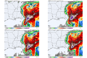
View attachment 122142
Strictly from a numbers perspective its about 60% west and 40% along east. The mean mslp gets skewed since the land interaction raises pressures and the ones far enough west are still in the 960s. Either way it's a delicate track here in that 48-96 hour window where 50-75 miles makes a huge differenceNAM was way west too on the 12Z run compared to the 06Z run.