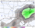
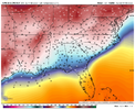
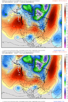
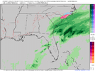
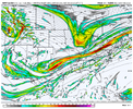
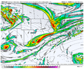
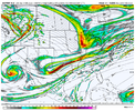
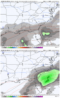
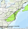
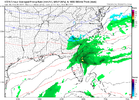
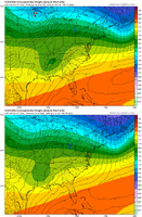
GSP leans toward whiffers. Tosses GFS.
As of 250 PM EST Tuesday: Despite good model agreement and
increasing confidence in the short range, run to run and model
differences creating a low confidence forecast in the
medium range.
The northern stream wave from the short term speeds by to our north
Saturday as the southern stream wave moves east. The
GFS has a
stronger wave crossing the area Saturday night and early Sunday
while the
ECMWF is weaker. Both models show
cyclogenesis off the
southeastern coast, but the
GFS is stronger and closer to the coast
initially and as it moves up the coast through Sunday. The
ECMWF and
Canadian are weaker and farther off shore. The
GFS has much more
precip with quite a wintry mix over the
CWFA while the
ECMWF and
Canadian shower little in the way of precip with only the smallest
potential for any wintry precip. The
GFS is a cold and wet outlier,
the coldest and wettest of all the
ensemble members for much of the
CWFA. The GEFS
mean is much drier and warmer. Therefore, the
operational
GFS much be taken with a huge grain of salt. Have gone
with the model blend forecast which has a chance of mostly rain for
most of the area. Temps near
normal Saturday then below
normal
Sunday. Of course, this bears watching as we get closer in time.
The guidance then shows a phasing split stream system developing
Monday and moving east of the area Tuesday. As with the first one,
the
GFS is stronger with the upper waves and the resulting
cyclogenesis off the southeast coast but not as strong. The
ECMWF
and Canadian show a weaker system with even less effect on our
weather. As with the first system, went with the guidance blend
which keeps a dry forecast for our area. Temps rise to near
normal
Monday then drop a couple of degrees for Tuesday

