Hypsometric
Member
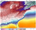
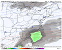
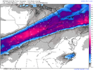
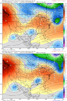
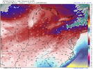
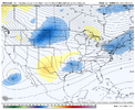
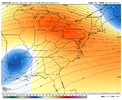
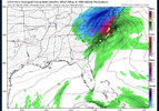
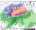
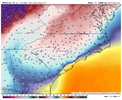
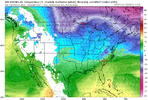
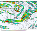
Yes, the GFS is not showing a hybrid CAD, it is showing in-situ CAD with the high being offshore and winds over the northeast and mid-atlantic out of the southeast. Big difference being that there is no continued supply of cold air advection to offset the latent heat release of freezing processes, thus the shallower cold dome on the eastern flank will erode relatively quickly. With the high out of position, this effectively eliminates these dooms day scenario ice accretion totals that are being spit out - especially outside of the western Piedmont of NC.I miss the big ice by literally 2 miles on that map.
It's way overdone, regardless.
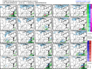
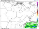
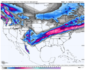
As far as the threat goes, all we can really say is that there's a threat for some wintry weather for portions of the SE. Right now, I'd favor the CAD areas and lend more weight to the GFS solution, but with it tamped down quite a bit.
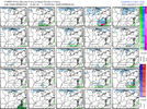
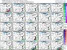
None of the models have been particularly good at this range on a consistent basis this year. They mostly have agreement that some manner of frozen precipitation will be possible, but I don't believe any doomsday icing maps no more than the man in the moon. And I won't unless I see an evolution toward classic CAD throughout the event.

