• Hello, please take a minute to check out our awesome content, contributed by the wonderful members of our community. We hope you'll add your own thoughts and opinions by making a free account!

Tropical 2024 Tropical Thread Reboot

The potential low forming off the SE might warrant its own thread soon:

AREA FORECAST DISCUSSION
NATIONAL WEATHER SERVICE CHARLESTON SC
445 PM EDT THU SEP 12 2024

SATURDAY AND SUNDAY: AS MUCH OF THE FORECAST STILL DEPENDS ON
WHETHER THIS LOW PRESSURE DEVELOPS OFF OF THE SE COAST, HIGH
UNCERTAINTY STILL EXISTS. ALL THE MODELS ARE PLAYING OUT A
DIFFERENT SCENARIO AS TO IF AND WHEN THE LOW DEVELOPS, AND HOW
STRONG IT IS GOING TO BE. NHC HAS A 30% OF TROPICAL DEVELOPMENT
FOR THIS LOW ON THEIR 7-DAY TROPICAL OUTLOOK. TO SAY THE LEAST,
THERE IS A LOT TO DETERMINE IN THE NEXT COUPLE OF DAYS.


LONG TERM /SUNDAY NIGHT THROUGH THURSDAY/

HIGH UNCERTAINTY EXISTS IN THE LONG TERM PERIOD, ESPECIALLY WITH THE
DETAILS OF THE TIMING, PLACEMENT, AND INTENSITY OF A POTENTIAL
COASTAL LOW PRESSURE.
While it is a weak system inwonder how brisk it would really be with the tight gradient.
 
9/12/24 Euro Weeklies mean ACE progs (% of climo for the week) (Euro climo based on 2004-23):

9/16-22: 6 (40%)(has been BN)

9/23-29: 14 (110%)(has been NN)

9/30-10/6: 16 (170%)(has been AN)(16 is climo of peak week of 9/9-15)

10/7-13: 10 (140%)(has been AN)

- So, the week of 9/30-10/6 is forecasted by the current Weeklies to be the busiest in terms of ACE. This run is essentially predicting peak climo ACE 3 weeks late despite 9/30-10/6 climo already being down 40% from its peak!

- As the above shows along with prior runs, the Weeklies have been consistent with a BN late Aug through mid Sept, a NN late Sept, and AN 1st 2 weeks of Oct. So, these signals are rather strong.

- This is the 4th run in a row having 9/30-10/6 the busiest week.
 
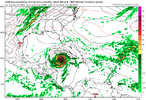
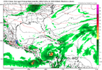
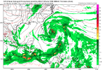
GFS has this at 06Z, the ensembles are very meh on it though. The NAM at 06Z would be what has to happen though with the low forming well south about even with Jacksonville FL then taking a solid couple of days to get to NC to get something impactful beyond just rain....I can really only think of a couple of storms that formed close to the SE coast then actually came well inland giving true TS or cane conditions to more than just the coast.

The most dramatic example was probably Diana in 1984, if she had come straight in without that loop and got inland she would probably be the benchmark for my generation. The more realistic one would be Gaston in 2004, but its pretty rare for us to get close forming storm that amounts to much wind wise etc.

1726228384354.png
 
GFS has this at 06Z, the ensembles are very meh on it though. The NAM at 06Z would be what has to happen though with the low forming well south about even with Jacksonville FL then taking a solid couple of days to get to NC to get something impactful beyond just rain....I can really only think of a couple of storms that formed close to the SE coast then actually came well inland giving true TS or cane conditions to more than just the coast.

The most dramatic example was probably Diana in 1984, if she had come straight in without that loop and got inland she would probably be the benchmark for my generation. The more realistic one would be Gaston in 2004, but its pretty rare for us to get close forming storm that amounts to much wind wise etc.

View attachment 151026

These home-brews can be tricky.


Sent from my iPhone using Tapatalk
 
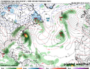
I mentioned to someone last night that we were gonna get "Nam'd" at some point and the 06z 12k didn't disappoint lol.

I don't think I've seen a more consistently overdone model whether it's winter, severe or hurricanes. It's almost useless lolView attachment 151024


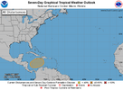
NHC says "Mehhhh...."

. Offshore the Southeastern U.S.:
A non-tropical area of low pressure could form along a frontal
boundary a few hundred miles off the southeastern U.S. coastline
this weekend. Thereafter, some subtropical or tropical development
is possible during the early part of next week while the system
moves generally northwestward toward the coast.
* Formation chance through 48 hours...low...near 0 percent.
* Formation chance through 7 days...low...30 percent.
 
But I'm saying hmmmmm to 94L....I think I pointed it out a couple of days ago.
NHC is at 20% right now:
Environmental conditions, including the
proximity of dry air, do not favor development of this system while
it moves west-northwestward at about 15 mph.

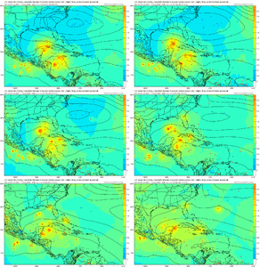
94L_tracks_latest (1).png

94L_intensity_latest.png
 
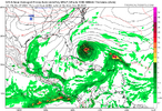
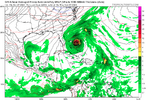
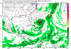
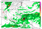
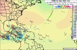
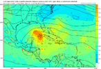
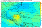
00z ICON for the first time develops the southeast coast storm.
Euro is in the same spot but not developed.

icon_mslp_wind_atl_61.png

ecmwf_mslp_wind_atl_fh150-150.gif
 
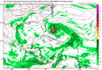
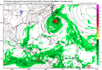
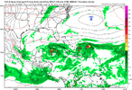
12Z GFS is sticking with its NC TS from the possible home brew:

IMG_0254.png

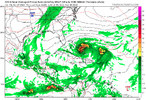
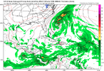
Otherwise there’s not too much from this. That includes the UKMET, CMC, and 6Z Euro (12Z Euro not out yet) though the ICON has a 1005 low 2 days later:
IMG_0255.png
 
GFS has this at 06Z, the ensembles are very meh on it though. The NAM at 06Z would be what has to happen though with the low forming well south about even with Jacksonville FL then taking a solid couple of days to get to NC to get something impactful beyond just rain....I can really only think of a couple of storms that formed close to the SE coast then actually came well inland giving true TS or cane conditions to more than just the coast.

The most dramatic example was probably Diana in 1984, if she had come straight in without that loop and got inland she would probably be the benchmark for my generation. The more realistic one would be Gaston in 2004, but its pretty rare for us to get close forming storm that amounts to much wind wise etc.

View attachment 151026

So what you’re saying is, every 20 years…2024 being the next in the pattern.


Sent from my iPhone using Tapatalk
 
Odds going up

Offshore the Southeastern U.S.:
A non-tropical area of low pressure could form along a frontal
boundary a few hundred miles off the southeastern U.S. coastline
this weekend. Thereafter, the low may develop some subtropical or
tropical characteristics, and a subtropical or tropical depression
could form early next week while the system moves generally
northwestward toward the coast. Additional information on this
system can be found in products issued by your local National
Weather Service Forecast Office and High Seas Forecasts issued by
the National Weather Service.
* Formation chance through 48 hours...low...10 percent.
* Formation chance through 7 days...medium...40 percent.


Nearing the United States East Coast, the hurricane quickly attained Category 4 intensity on September 26, before it subsequently reached its peak intensity with maximum sustained winds of 150 mph (240 km/h) and a minimum barometric pressure of 930 mbar (930 hPa; 27 inHg). The intense hurricane came within 10 mi (16 km) of Cape Fear, North Carolina before recurving out to sea

. A weather station in Wilmington, North Carolina reported a wind gust of 135 mph (217 km/h), setting a new record for fastest wind gust reported there
 
Back
Top