• Hello, please take a minute to check out our awesome content, contributed by the wonderful members of our community. We hope you'll add your own thoughts and opinions by making a free account!

Wintry 1/20 - 1/23 Winter Storm

If the GFS comes in flat/strung out through 12z tomorrow, I'll feel a little better. I honestly don't care what the Euro shows right now. It has been a hot mess lately. I don't know what they did to it over there but they need to downgrade it so it gets better again.
 
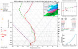
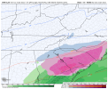
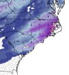
So this is looking like major ice South and Pretty decent snow North in SC

Sent from my SM-A526U using Tapatalk

Very difficult to say right now. Probably
Going to be a close call just like a lot of systems in the Carolinas


Sent from my iPhone using Tapatalk
 
This setup is susceptible to a NW trend because the western Atlantic ridge nosing in is part of the setup, the northern stream energy may move out to fast in southeast Canada like yesterday’s setup and the storm might feel the lack of confluence and might hook closer to the coast, and the digging might happen to far west, lots of ways this could trend NW, we need to keep a positive tilt wave.
For a Columbia/Fayetteville special we need a positively tilted wave axis propagating east with a lack of southern stream and otherwise overrunning all by itself, or east least some weak neutral tilt at the very end stages to keep any WAA out of here
Basically, I really like the 85 corridor and NW on this setup right now
 
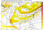
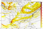
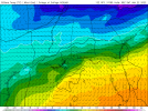
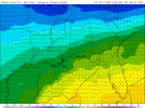
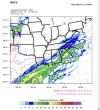
GFS following...stronger atlantic ridge..Thursday 12z

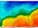
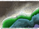
And no, this isn't it's going to rain everywhere...just there will be an event I would think this run.

View attachment 107237
50/50 high doing work. Need that big north Atlantic block to move west.
 
Last edited:
I was getting a little concerned here about ZR until yesterday and wanted either the typical NW (warming) shift to make it all plain rain or the best case, a rare SE shift to make it mainly sleet and snow. I’m now feeling a good bit relieved as the typical NW shift is happening as the models are trending stronger with the Atlantic ridge. Kudos to @KyloG for showing this quite well in animation. Still watching and not yet totally dismissing the possibility but no longer that worried as the typical NW/warming shift as well as climo is on my side.
 
Last edited:
Back
Top