• Hello, please take a minute to check out our awesome content, contributed by the wonderful members of our community. We hope you'll add your own thoughts and opinions by making a free account!

Wintry 01/28-29/2022 Winter Weather Potential

I’m really not worried YET, that being the key word, about what the 18z suite showed. As we have trended closer the southern stream has trended stronger previously. See not reason why that won’t be the case here until it just doesn’t happen.
 
Glacier National Park is great northern stream entry point for Central and Eastern NC, hrs 48-60 is clutch for full realization of protentional. One wants to see these three players connecting in some way shape or form.

500hv.conus (1).png
500hv.conus (2).png
 
I’m really not worried YET, that being the key word, about what the 18z suite showed. As we have trended closer the southern stream has trended stronger previously. See not reason why that won’t be the case here until it just doesn’t happen.
Once models gets stuck in the southwest, we haven’t been able to get them out this winter.
 
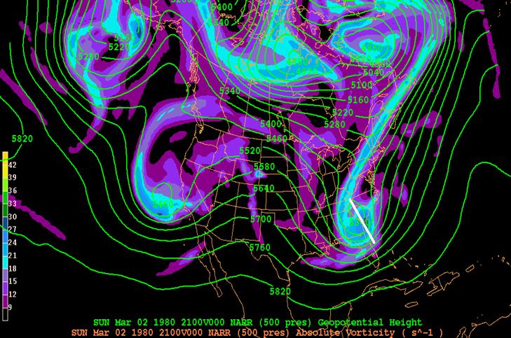
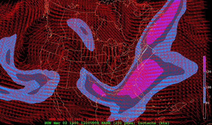
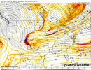
It was interesting looking back at the 12z GFS from 1/20, one of the monster solutions, which i think was maybe the first one? You have essentially 5 different areas of energy that all connected to bring about the superstorm.

You can see them here in the first image. There is ridging along the west coast and ridging out ahead of the energy diving in, over the east coast.

20220124_225756.png

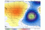
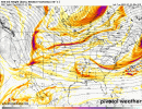
Now notice the Rgem tonight for the same period. I picked the same time for continuity, but I realize the timing has changed a little bit. So while it's not exactly apples to apples, it still suffices to show the differences.

In the second image, you see really only 3 areas of energy. There is still ridging along the west coast but the flow is flat out ahead of the diving energy.

20220124_225931.png

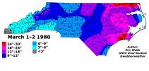
It's easy to see the difference in what would go on to create history vs what will likely go on to create a run of the mill low pressure, at least for our area. Neither example holds the energy back on the SW.

So which solution is right? Either? Neither? Who knows. But if you're chasing the big dog, it's good to know what he looks like.
 
On the 0z GGS Tonight. Need the last piece of NS to phase in better back in the 4 corners. Its weaker past couple of runs on gfs. Everything else is the same .This will sharpen the trough over central GOM and slow things up enough like 18z Saturday. Maybe its a hiccup, maybe not. I Know this will change fir better or for worse. Theres no way the gfs has it(last piece of NS energy) pegged correctly. Itll be on RAOB scene Thursday. Till then we wait.

Edit: I compare everything to that h5 map from 18z Sat. Like RC said, you know what it looks like, so you have the blueprint
 
That’s the one they like isn’t it? Seen so many times where Nantucket up through cape cod get drenched/mix while Boston gets nuked with ❄️

40/70 is grammar school for DCA - BOS with a bombing cyclone in the mid latitudes. Occlusion in southern NE (Long Island Sound) is high school, I speak from experience.
 
GEFS honestly look to be an improvement for NC folks .. pretty interesting the set up is SO close that even the initial start of the phase is being depicted and that alone is bringing some decent snow totals to some in NC .. certainly something we have to continue watching .. cause a lot of models pick up on this area of moisture that gives us our flizzard at the beginning stages of that storm formation and phase.. interesting especially at this range CE2B18BB-2A3D-4480-8E16-9339A8D9BDB6.jpegD1BF5B0F-D83A-4B53-9DB9-C1424474F446.jpeg
 
Back
Top