David Lowery
Member
Everyone have a good time and be safe traveling
Well he better hope the rgem doesn't verify...still snowing at this hour too
View attachment 2988
No. That was the RAP that nailed it.
View attachment 3010 18z GGEM looks good. This link only goes out to 48 hours here just hit animate. Don't have accumulations totals yet from meteocentre site.
http://collaboration.cmc.ec.gc.ca/cmc/cmdn/pcpn_type/pcpn_type_gem_reg.html


I think the NWS needs to push the WWA further south!@CoreyTheSecond
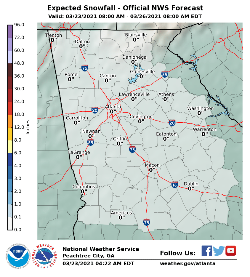
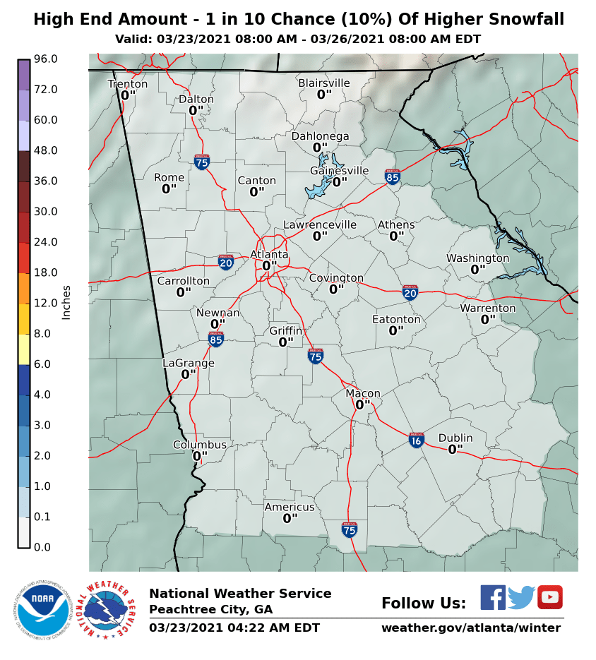
I’d say maybe 2” at the most for this thing...I’d be very surprised if someone saw more than that for the immediate Atlanta area
I like the looks of that!! Very RGEM like to me
Agree look at the disparaging of these two maps...I think the NWS needs to push the WWA further south!
I can't wait until FFC decided to issue the advisories at the last minute tomorrow. Looks like MS has the same issue of not issuing further south. Just wait until SC gets their advisories. Could make FFC look stupid.Agree look at the disparaging of these two maps...
Wow, yeah. I agree.Agree look at the disparaging of these two maps...
FFC wants this to turn into snowmagedon again!
Did he say something???
It's mainly so that schools and school systems can declare a snow day without having to jump through a lot of hoops.yeah just now he talked about how Alabama was in a state of emergency for an inch of snow. This guy is pure comedy.
And like Shawn said above, so that county EMAs have available resources.ok my bad
State of Emergency declarations are used to help have available resources.
Any television met who thinks he knows anything to do with it, is a moron.
Idiot said a dusting of snow and areas saw a foot, last time, anyways.
Mods feel free to remove/move this if it ends up being too banter-ish.
Honestly, I'm beginning to feel like that some of the TV mets down here might be a bit too conservative. I'm not trying to say that I know better than them or that I don't understand why they're so conservative. But sometimes it can be a bit much, like the whole predicted dusting ending up becoming a foot people here keep pointing out.
I know TV mets probably don't want to cause a panic, but it's better to have people prepared for the worst case scenario and have nothing happen than to have situations like the 2014 event happen.

Another thing is the phone weather apps show nothing, and basically even on Dec 8th. I know this belongs in Banter, but thought it was relevant to my thread. Unfortunately for the lay people, lol, that is what they believe and see and it bites them in the a@@Especially in a Metro of 7 million, some people were in their cars for 24 hours, totally embarrassing.
Here is latest hrrr run. It has the band dying as it crosses through NW Alabama...have to watch to see if that trend continues as we move forward.
View attachment 3015
Yea that's true the reform would be shortly after that hour. Plus it's the long range of the hrrr to.A lot of the models have had that and then have it kind of reform or intensify shortly after. The NAM has been showing that for the past 2 days
Yes the two factors that will help in Metro ATLJan ‘14 can gtfo. The lunchtime start to that event was a huge factor in its creation. Timing looks different this go around that would limit the chaos of everyone hitting the roads at the same time.
Seems like a decent analog though. Light event occurring with temps in the mid to upper 20s. The discussion has been had before and the consensus I got was roads begin to freeze around. 27-28 air temp in the daytime. Need those few degrees to fight off the dark surface absorbing the incoming heat, cars running over it ect....
Keep an eye out for a trend towards an upstate 850, especially one that slowly deepens as it exits the coast in NC. RGEM is on the extreme end but even the Euro hints at some 850mb close off potential. You would want to be NE of the 850 center by a margin for enhanced lift.