-
Hello, please take a minute to check out our awesome content, contributed by the wonderful members of our community. We hope you'll add your own thoughts and opinions by making a free account!
You are using an out of date browser. It may not display this or other websites correctly.
You should upgrade or use an alternative browser.
You should upgrade or use an alternative browser.
Z
Zander98al
Guest
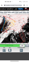
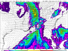
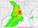
So far HRRR long range has the qcls midway through Alabama by 6 o'clock in the morning friday. A bit slower than 12z 3km nam. Has decent convection near the gulf coast counties.
Z
Zander98al
Guest
Z
Zander98al
Guest
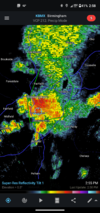
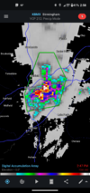
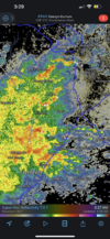
Now it's flooding ? and tiny bits of hail just a second ago.
Z
Zander98al
Guest
Z
Zander98al
Guest
Z
Zander98al
Guest
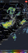
Half a dozen water rescues already underway in downtown Birmingham
Z
Zander98al
Guest
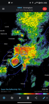
It's hailing!!!!!!
Z
Zander98al
Guest
Near Downtown st Vincent I think.
Z
Zander98al
Guest
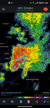
Water rescues ongoing at uab campus st Vincent's and 5 point south.
Z
Zander98al
Guest
Z
Zander98al
Guest
Z
Zander98al
Guest
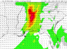
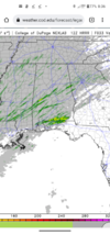
18z Nam 3km has some strong updraft swaths in the supercells that develop in the afternoon ?
bigstick10
Member
Honestly, people are so stupid..
Z
Zander98al
Guest
RollTide18
Member
@Zander98al what do you think of the earlier round for S Alabama?
Z
Zander98al
Guest
Haven't really looked at it too much, been focusing on the potential redevelopment later, I think the first wave will just be damaging winds and a little bit of hail, with possibly a spin up or two, with your stronger storms in the QCLS. Closer to the gulf during the earlier round you may see a better chance at spin ups as it looks like greater instability is confined to just inland (mobile/ Baldwin county). Everything in the 1st wave will probably be semi elevated the further north in Alabama you get.@Zander98al what do you think of the earlier round for S Alabama?
Z
Zander98al
Guest
I'll tell you one thing long range HRRR is quick on that recovery with the atmosphere it may be more aggressive with supercells in the 00z runs. Big run coming up on the HRRR.
Z
Zander98al
Guest
Z
Zander98al
Guest
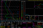
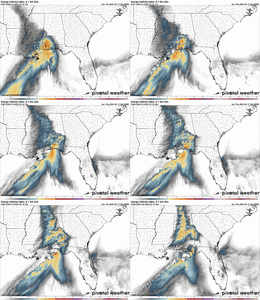
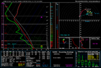
Pretty high low level instability, should be 200+ with low level lapse rates at around 7.5-8.
Z
Zander98al
Guest
Good grief the at the bullish 2nd wave convection on the 00z hrrr. Doesn't show some of the cells going supercellular with the 2nd wave, but we will see. The environment is there it looks like.
Last edited by a moderator:
Z
Zander98al
Guest
HSVweather
Member
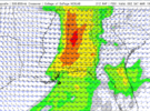
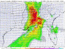
Looks like the WRFs keep the best instability and helicity disjointed. Cape is very impressive though on the ARW with a narrow swath of 2500-3000 reaching passed BHM.
Stormsfury
Member
Tonight around 11:10 pm, strong cell raked across Summerville, Ladson and Goose Creek with .75" to 1" diameter hail. It was accompanied by almost severe winds... hail at my work lasted 15 minutes
Z
Zander98al
Guest
Atomsphere looks to recover Friday afternoon but sparse development is now being forecasted. Wouldn't trust it this far out though, last event changed considerably 24 hours out. Albeit the main lifting mechanism that event was peak heating lol.
It’s that time of year…. Semper Gumby I guess.
Z
Zander98al
Guest
Having a hard time believing supercells don't initiate near western Alabama around peak heating Friday. Something just seems off. Hopefully not a repeat of the no lift system that started spitting out multi cluster and supercells and didn't show it on forecast till about 5 hours out. Either wait atmosphere will be ripe Friday afternoon. Wondering if models are having trouble with the dynamics of the atmosphere at play? Don't know just seems fishy at the lack of convection, cams are clearly showing a very well rebounded atmosphere and multiple lifting mechanisms at the same time. Just my thoughts ?. The cams all show a few mini supercells around the central Alabama region but I'd push that intitaion a bit to the west off of hunch
Z
Zander98al
Guest
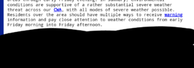
WOW! NWS BHAM HAS WORDING NOW THAT A POSSIBLE SIGNIFICANT SEVERE EVENT FRIDAY MORNING THROUGH AFTERNOON
Z
Zander98al
Guest
BufordWX
Member
HSVweather
Member
I think the key is how well the atmosphere can rebound from the morning storms. Especially in north Alabama, it will be harder to recover this far north but still plausible as you stated with the CAMs showing itHaving a hard time believing supercells don't initiate near western Alabama around peak heating Friday. Something just seems off. Hopefully not a repeat of the no lift system that started spitting out multi cluster and supercells and didn't show it on forecast till about 5 hours out. Either wait atmosphere will be ripe Friday afternoon. Wondering if models are having trouble with the dynamics of the atmosphere at play? Don't know just seems fishy at the lack of convection, cams are clearly showing a very well rebounded atmosphere and multiple lifting mechanisms at the same time. Just my thoughts ?. The cams all show a few mini supercells around the central Alabama region but I'd push that intitaion a bit to the west off of hunch
Z
Zander98al
Guest
Think it's a lot more likely than we are putting stock into, gotta realize the sun will be completely out by mid morning after that qcls moves through. You could probably reach 3000+ sbcape in west AlabamaI think the key is how well the atmosphere can rebound from the morning storms. Especially in north Alabama, it will be harder to recover this far north but still plausible as you stated with the CAMs showing it
Z
Zander98al
Guest
Z
Zander98al
Guest
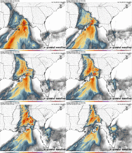
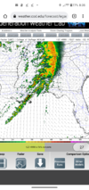
Check out those supercells by Selma at 9 o'clock in the morning. That's a pretty ripe area.
Z
Zander98al
Guest
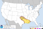
You may have a pretty good tornado event in south Alabama and then the northern extent will be dependent on that second wave. Hunch tells me it'll initiate a bit more to the west. Hrrr is already keying in rotating updrafts with supercells in the eastern half of the state. A enchanced risk in that south Alabama area will probably issued before go time.
Z
Zander98al
Guest
Z
Zander98al
Guest
Good grief tommorow will be a complex weather day lol.

