I hope I'm wrong, but it's not out of the question Houston could see a direct hit from a major hurricane at this point. The trends today will be important to watch.
-
Hello, please take a minute to check out our awesome content, contributed by the wonderful members of our community. We hope you'll add your own thoughts and opinions by making a free account!
You are using an out of date browser. It may not display this or other websites correctly.
You should upgrade or use an alternative browser.
You should upgrade or use an alternative browser.
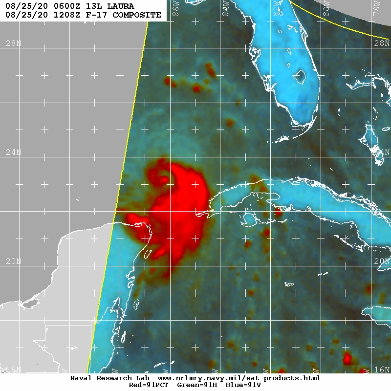
Tropical Major Hurricane Laura
- Thread starter GaWx
- Start date
Did it have shear? That clear eye stadium effect at landfall was the best ever photographed from the ground of any hurricane on record.
Yes and no. Michael was experiencing SW shear however as it made the turn NE it nullified most of it which is why it began strengthening rapidly at landfall.
Henry2326
Member
06z
GFS. 949
ICON 956
HWRF 942
EURO 948. 00z
HMON 952
NAM 885
Just slightly west of last couple of runs....


GFS. 949
ICON 956
HWRF 942
EURO 948. 00z
HMON 952
NAM 885
Just slightly west of last couple of runs....
Last edited:
LovingGulfLows
Member
- Joined
- Jan 5, 2017
- Messages
- 1,499
- Reaction score
- 4,100
Welp....
It's very close to wrapping the convection around it's core. This thing is going to take off today.
It's very close to wrapping the convection around it's core. This thing is going to take off today.
The HWRF always has the most apocalyptic scenario06z
GFS. 949
ICON 956
HWRF 942
EURO 948. 00z
Just slightly west of last couple of runs....
View attachment 47198View attachment 47199View attachment 47200View attachment 47201
I haven’t had a chance to pull up the NAM this morning... is it still showing the ridiculous sub 900mb pressures it was last night?06z
GFS. 949
ICON 956
HWRF 942
EURO 948. 00z
HMON 952
Just slightly west of last couple of runs....
View attachment 47198View attachment 47199View attachment 47200View attachment 47201View attachment 47202
Henry2326
Member
Yes...I just added it. I interpret it as "evacuate NOW"!!!!I haven’t had a chance to pull up the NAM this morning... is it still showing the ridiculous sub 900mb pressures it was last night?
The models are consistently showing a category 3 hurricane. I think we could see this get to 115 to 120 mph.
Per NHC this morning, [mention]Brick Tamland [/mention]my man, you are correct. Good call brother.
The 18z euro is 939 mb!! What a turn of events for the King lolView attachment 47158
I thought the King was involuntarily abdicating the throne.
Henry2326
Member
Hmmmm....you did notice that it's only 6 point below the Euro and 7 from the GFS.? As well, it's been throwing these numbers for the last couple of days while the others have been vacillating all over the place. I wouldnt take it completely at face value but it tells us that in a specific set of conditions, this is what we can expect. Those conditions are coming upon us.....The HWRF always has the most apocalyptic scenario
I see the NAM is now down to 885mb at landfall which I’m pretty sure would be a record for the entire Atlantic Basin... it seems it wants to do the same thing with hurricane pressures that it does with QPF right before a SE winter storm... go way overboard
Blue_Ridge_Escarpment
Member
And because the Euro finally got it right at the 11th hour, the verification score will still remain high. That’s why those scores are not very useful.I thought the King was involuntarily abdicating the throne.
Im going 939mb Galveston bay Landfall. LF could be 20-30 miles to the north of the bay. Thats my forecast.
Houston metro floods very easily. Hopefully folks are paying attn
Houston metro floods very easily. Hopefully folks are paying attn
Yeah. It’s always got a buzzsaw depicted I guess is what I’m trying to say.Hmmmm....you did notice that it's only 6 point below the Euro and 7 from the GFS.? As well, it's been throwing these numbers for the last couple of days while the others have been vacillating all over the place. I wouldnt take it completely at face value but it tells us that in a specific set of conditions, this is what we can expect. Those conditions are coming upon us.....
Oh I don't usually question them and I'm not now but its just concerning me that what if the EPS is onto something
They are probably right but seeing Marco shift so much in one advisory was kind of eye opening (obviously this isn't Marco but still)
Also on a selfish note I was in Galveston last month and hope to go back next year if it's not destroyed
I love Padre Island too. So beautiful and serene (when there aren’t tourists). I have friends in Houston (she’s in Houston with the kids and he works on an oil rig in the Gulf) plus I have friends I was enlisted with that are stationed in Houston, Corpus Christi, Port Arthur, Galveston, Texas City, Brownsville, South Padre Island, and Victoria.
Edit: I’m a lapsed Catholic, but y’all please keep my friends in your thoughts (and prayers if you’re religious). I have a lot of former USCG shipmates that are still in down that way, plus a close friend whose family lives in Houston while he’s on an oil rig.
Last edited:
Jessy89
Member
Around the border of Louisiana/Texas i believe. But it’s already going further east then I thought it would.
Sent from my iPhone using Tapatalk
Sent from my iPhone using Tapatalk
I agree. This storm could be a bad one for the Houston metro given the current trends.Im going 939mb Galveston bay Landfall. LF could be 20-30 miles to the north of the bay. Thats my forecast.
Houston metro floods very easily. Hopefully folks are paying attn
I’m trying to remember if Houston got a significant storm surge with Ike... I remember there was a lot of wind damage in downtown Houston with hundreds of windows blown out of skyscrapers, but it seems to me the whole news focus of the storm surge was on what happened to Galveston... which was devastating especially for a Category 2... I don’t want us to see what a cat 4 will do today coming in at the same angle.Im going 939mb Galveston bay Landfall. LF could be 20-30 miles to the north of the bay. Thats my forecast.
Houston metro floods very easily. Hopefully folks are paying attn
I’m trying to remember if Houston got a significant storm surge with Ike... I remember there was a lot of wind damage in downtown Houston with hundreds of windows blown out of skyscrapers, but it seems to me the whole news focus of the storm surge was on what happened to Galveston... which was devastating especially for a Category 2... I don’t want us to see what a cat 4 will do today coming in at the same angle.
Do you remember all the rain from Harvey and how the entire Houston Metropolitan Area was inundated and flooded?
BHS1975
Member
Im going 939mb Galveston bay Landfall. LF could be 20-30 miles to the north of the bay. Thats my forecast.
Houston metro floods very easily. Hopefully folks are paying attn
And even more so with higher sea levels.
Sent from my iPhone using Tapatalk
The 3K NAM never fails to disappoint......

BHS1975
Member
Might not be too far off.
Sent from my iPhone using Tapatalk
Oh yeah... I remember it seemed like Harvey sat in the same location for days... at least Laura seems like she’ll be on the move and won’t have the time to drop the ridiculous rain totals that storms like Harvey and Florence did.Do you remember all the rain from Harvey and how the entire Houston Metropolitan Area was inundated and flooded?
Something else to consider. As bad as Harvey was, he made landfall south of Houston, closer to Corpus Christi as a Cat 4. But then he meandered up the coast and mostly brought serious flooding to Houston. But since Laura is moving along, if she were to make a landfall in Galveston Bay, the storm surge and the winds on the east side would be magnified. It would be a catastrophe of a different kind. Hopefully this worst case doesn't come to fruition. And hopefully residents in the Houston area are paying attention.
Correct me if I’m wrong here, but doesn’t this reading indicate unflagged 77kt winds?
124800 2358N 08533W 6967 03112 0026 +081 +015 138072 077 056 008 00
124800 2358N 08533W 6967 03112 0026 +081 +015 138072 077 056 008 00
6z EPS

Jessy89
Member
That sharp right turn ouch
Sent from my iPhone using Tapatalk
NoSnowATL
Member
Another thing to consider is the landfall time. Looks to hit around midnight which is even worse.
ForsythSnow
Moderator
That value is for Flight level winds.Correct me if I’m wrong here, but doesn’t this reading indicate unflagged 77kt winds?
124800 2358N 08533W 6967 03112 0026 +081 +015 138072 077 056 008 00
Shaggy
Member
Weathernc showed the maps lastnight that could turn this more towards the north.
What gets my attention in looking at those ensembles is most dont have it as a hurricane till later. This gives me pause because a stronger storm just might turn earlier. While euro says watch out Texas and I was on the Houston to border landfall train I'd still be cautious into SW and central Louisiana.
Correct me if I’m wrong here, but doesn’t this reading indicate unflagged 77kt winds?
124800 2358N 08533W 6967 03112 0026 +081 +015 138072 077 056 008 00
I would like to know how to read these.
Sent from my iPhone using Tapatalk
I look forward to it this winter

Sent from my iPhone using Tapatalk
Here is a guideI would like to know how to read these.
Sent from my iPhone using Tapatalk
smast16
Member
Something to consider, is how long and straight she's going. That's a long time to build a swell for surge.
Remember this? I’m so thankful that I don’t invest the time into tropical systems that I do with winter systems, because the run to run variability is insane. This thing is now trending to Texas and it looked like this not so long ago. Weather is crazy!View attachment 47196
I understand that this has been a hard system to predict. A lot of landmasses was involved. However, comparing Tropical systems to winter storms is like apples to oranges. Sure there are similar factors like the tilt of the system and ULW. Both are different animals. Both are, I’m sorry to say exciting to track. I personally like a challenge, I know many here do as well. To the image that you shared (listed below) UKX2 ensemble has been on the money since this was published. August 21. I think I will make note of it for this guidance for future tropical systems. Where did you find this ATCF Guidance at? And honestly this ensemble is heading straight for Houston.

Sent from my iPhone using Tapatalk
She's about to be off to the races. Surge will be a big deal. I'm thinking Cat 4 at LF, barring an ERC. Looks like smooth sailing from here to Texas.
Henry2326
Member
Absolutely.....for the last couple of days, HWRF forecast the same pressure coming off the islands as GFS and Icon, but continued to rapidly intensify until landfall....
Henry2326
Member