dsaur
Member
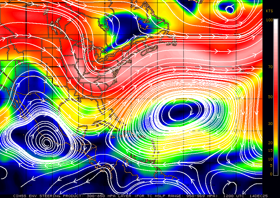
Two questions....why are these things trying to cut off and spin these days, when they used to be in a hurry of get out of Dodge. And, why, with hurricanes to the left and to the right, do they not want to give me any rain? Or very little to speak of? Some thing's fishy ") T
T
T