• Hello, please take a minute to check out our awesome content, contributed by the wonderful members of our community. We hope you'll add your own thoughts and opinions by making a free account!

Tropical Major Hurricane Helene

60%, extended the bubble, and added a circle.

two_atl_7d0 (2).png

A broad area of low pressure is likely to form by the early to
middle part of next week over the northwestern Caribbean Sea and
the adjacent portions of Central America. Thereafter, gradual
development of this system is possible, and a tropical depression
could form as the system moves slowly to the north or northwest
over the northwestern Caribbean Sea and across the Gulf of
Mexico through the end of next week. Regardless of development,
this system is expected to produce heavy rains over portions of
Central America during the next several days.
* Formation chance through 48 hours...low...near 0 percent.
* Formation chance through 7 days...medium...60 percent.

4. Eastern and Central Tropical Atlantic:
A tropical wave is expected to move westward from the coast of
Africa on Sunday or Monday. Gradual development of this system is
possible next week as it moves west-northwestward over the eastern
and central tropical Atlantic.
* Formation chance through 48 hours...low...near 0 percent.
* Formation chance through 7 days...low...30 percent.
 
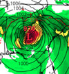
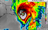
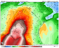
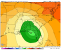
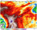
Theme of the early 12z runs is a sloppy mess. Different timing and landfall points. Still wouldn’t expect to see a consensus til we get a real center View attachment 151387View attachment 151388View attachment 151386
I really wouldn’t trust any of the modeling on either track or especially strength until there is an actual system to lock onto. I’ll always remember how models had Michael as a TS/ weak hurricane at landfall when it was first developing
 
I really wouldn’t trust any of the modeling on either track or especially strength until there is an actual system to lock onto. I’ll always remember how models had Michael as a TS/ weak hurricane at landfall when it was first developing
Absolutely. Anything can happen and surprises are usually a given
 
I really wouldn’t trust any of the modeling on either track or especially strength until there is an actual system to lock onto. I’ll always remember how models had Michael as a TS/ weak hurricane at landfall when it was first developing
Especially the way they have blown up quickly in the Gulf the past few years.
 
Back
Top