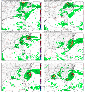
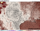
Birmingham received 6.97 of rain yesterday a record for the date. North and central Alabama continues to receive above average rainfall. Over 36” of rain so far this year. Strange we have been so wet the past few years while many of you guys to our east are in drought conditions hoping for rain.
-
Hello, please take a minute to check out our awesome content, contributed by the wonderful members of our community. We hope you'll add your own thoughts and opinions by making a free account!
You are using an out of date browser. It may not display this or other websites correctly.
You should upgrade or use an alternative browser.
You should upgrade or use an alternative browser.
Pattern June 2022
- Thread starter SD
- Start date
Good walking weather
I don't really see a lot to hold the heat back in that period around the 15th. The ridge may try to reform/retrograde getting toward the 20th which may break the heat some the further east you go but over all a pretty classic US heat dome incoming
I've got one more shot of rain this weekend before the furnace, if that one fails goin get ugly I'm afraid and not to sound like that guy, but it will take a TC at that pointI don't really see a lot to hold the heat back in that period around the 15th. The ridge may try to reform/retrograde getting toward the 20th which may break the heat some the further east you go but over all a pretty classic US heat dome incoming
Over 36" there and 19" here, quite the stark contrast indeedBirmingham received 6.97 of rain yesterday a record for the date. North and central Alabama continues to receive above average rainfall. Over 36” of rain so far this year. Strange we have been so wet the past few years while many of you guys to our east are in drought conditions hoping for rain.
There are some exceptionally bad analogs showing up. At this point I've accepted our fate for the next 90 days is hot and mainly dry. Hopefully we can catch something big Saturday then maybe some ridge riding mcs next week. As you said though it's going to get ugly easily around here if we don'tI've got one more shot of rain this weekend before the furnace, if that one fails goin get ugly I'm afraid and not to sound like that guy, but it will take a TC at that point
BHS1975
Member
There are some exceptionally bad analogs showing up. At this point I've accepted our fate for the next 90 days is hot and mainly dry. Hopefully we can catch something big Saturday then maybe some ridge riding mcs next week. As you said though it's going to get ugly easily around here if we don't
Looks like a good derecho setup next week.
Sent from my iPhone using Tapatalk
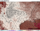
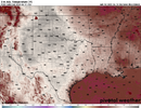
00z GFS is still advertising every single day the entire run (minus today) at 100*F or above for DFW.
Tomorrow's in jeopardy though, as another MCS might pass by close enough for a repeat of Wednesday.
Tomorrow's in jeopardy though, as another MCS might pass by close enough for a repeat of Wednesday.
Got some 2012 vibesLooks like a good derecho setup next week.
Sent from my iPhone using Tapatalk
Got a storm last night and some good rain.
?Gusting all the way to 10.
Oh...euro looks like it barely drops some parts of NC below 80 Tuesday night. Yikea, ooof, buffet, eat ridge
Seeing some towering CU outside. With the remnant outflow boundary from yesterday overhead, might get some pop up storms.
whatalife
Moderator
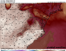
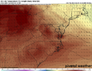
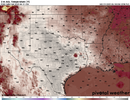
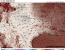
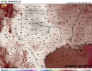
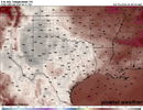
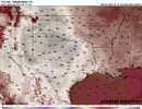
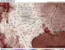
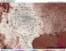
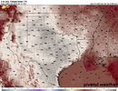
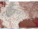
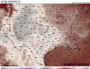
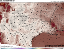
>22c at 850 is usually the benchmark for 100+ around here 12z euro is 21-24c across the region Tuesday
View attachment 119045
View attachment 119046
View attachment 119047
So this weekend is a great time to plant more grass seed before the true heat comes.Oh...euro looks like it barely drops some parts of NC below 80 Tuesday night. Yikea, ooof, buffet, eat ridge
As crazy as it sounds soil temps in the 80s to near 90 is the best for germinating warm season seeds but good luck keeping it wet. You will see some literature online that says 65-75 but I think it's bogusSo this weekend is a great time to plant more grass seed before the true heat comes.
whatalife
Moderator
Yep…keeping it wet is my real concern.As crazy as it sounds soil temps in the 80s to near 90 is the best for germinating warm season seeds but good luck keeping it wet. You will see some literature online that says 65-75 but I think it's bogus
Yeah. You'd have to get one of those programmable hose timers and water at least 3x/dayYep…keeping it wet is my real concern.
whatalife
Moderator
Which is what I already have.Yeah. You'd have to get one of those programmable hose timers and water at least 3x/day
Last edited:
Today's high at DFW was 94*F. It could potentially be the last time we see highs in the 90s for a while.
Had some low clouds this morning, but those mixed out fairly quickly after sunrise into a SCT-BKN CU field.
Had some low clouds this morning, but those mixed out fairly quickly after sunrise into a SCT-BKN CU field.
Last edited:
Iceagewhereartthou
Member
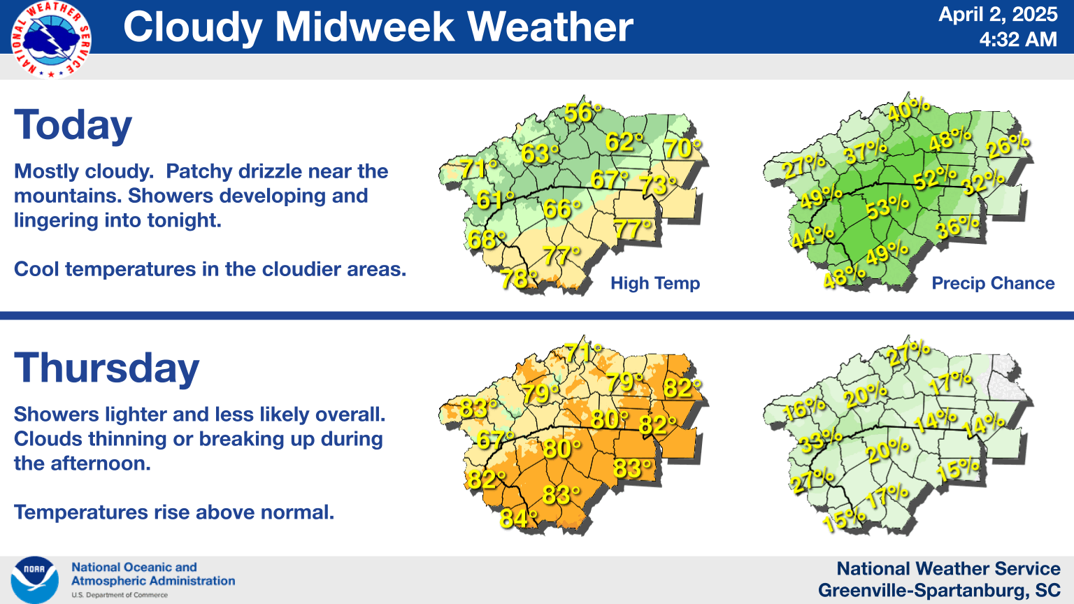
Here's GSPs thoughts on the next few days
.CLIMATE...
RECORDS FOR 06-14
MAX TEMPERATURE MIN TEMPERATURE
STATION HIGH LOW HIGH LOW
------- ---------- ---------- ---------- ----------
KAVL 92 2016 67 1955 67 2018 41 1903
1933 2004
1907 1958
KCLT 99 1958 66 1906 76 1958 49 2019
1921 1881
KGSP 98 1885 60 1906 74 2010 46 1903
1921
RECORDS FOR 06-15
MAX TEMPERATURE MIN TEMPERATURE
STATION HIGH LOW HIGH LOW
------- ---------- ---------- ---------- ----------
KAVL 93 1952 63 1917 68 2004 42 1933
1969
1958
KCLT 99 2015 60 1884 75 1998 51 1933
1981
KGSP 97 1981 69 1965 74 1918 51 1904
1885 1906
RECORDS FOR 06-16
MAX TEMPERATURE MIN TEMPERATURE
STATION HIGH LOW HIGH LOW
------- ---------- ---------- ---------- ----------
KAVL 92 1934 62 1961 69 1939 43 1933
KCLT 99 2015 62 1965 75 1998 52 1961
KGSP 98 1981 65 1979 73 1914 50 1917
I hate this kind of weather with a passion, but there's naught to be done about it. Hopefully we can avoid the 100+ and we can get a breakdown the following week, at least back to "normal temps" but I am a bit afraid this could be long term. Given how early this is starting, I hope we aren't looking at another 2016 with mid 90s for months on end.
So 3k NAM completely dried up for tomorrow, shocked I tell you just shocked


Tomorrow is painful. The whole premise for the heavy rain was the strong incoming shortwave and the mcv interacting with the westward moving warm front giving us sfc development and a heavy rain event. Now the mcv is headed for the gulf and the shortwave is meh so we are depending on meager upper level support and some weak sfc convergence from the warm front. I think any model showing 0 for tomorrow is probably a little underdone but we certainly missed a good chance at a drought denterSo 3k NAM completely dried up for tomorrow, shocked I tell you just shocked

I go on vacation next week so won't be here to continue to water the grass, plus with this starting to be a long term issue and ground water getting low plus I have a well (although a deep well and should be fine for some time) I'll probably sacrifice the lawn. Sprinklers will go silent after SundayTomorrow is painful. The whole premise for the heavy rain was the strong incoming shortwave and the mcv interacting with the westward moving warm front giving us sfc development and a heavy rain event. Now the mcv is headed for the gulf and the shortwave is meh so we are depending on meager upper level support and some weak sfc convergence from the warm front. I think any model showing 0 for tomorrow is probably a little underdone but we certainly missed a good chance at a drought denter
Nice! Yeah man don't sweat it while on vacation. Good thing is convective chances look decent all week next week hard to imagine a shutoutI go on vacation next week so won't be here to continue to water the grass, plus with this starting to be a long term issue and ground water getting low plus I have a well (although a deep well and should be fine for some time) I'll probably sacrifice the lawn. Sprinklers will go silent after Sunday
Downeastnc
Member
100*F cancel today for DFW. Delayed until tomorrow (maybe).
Iceagewhereartthou
Member
Sigh..been a very nice week overall, decent humidity levels, nice evenings and mornings with a breeze. Down to 58 this morning for me, very nice. I wish we could put that on repeat for the summer but... ?
Actually, just looking at this morning's runs the suite seems to have backed off a hair on the heat, the GFS is actually quite different, the 6z went sub 100 for Tues and the 12 actually shows rain with some significantly lower temps for Tues, BUT it brings the big heat still for the 20th.. However, it breaks that down with tropical system thereafter.
I mean, we're still talking a lot of 90s here, but if we can avoid the upper 90s and 100s...
Last edited:
Iceagewhereartthou
Member
Ouch! CAE...
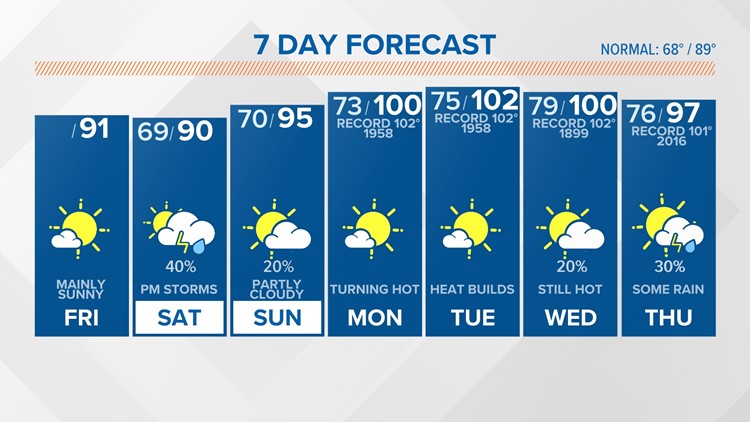

That drought is going to expand like wildfire across much of TX (not so much OK or the Panhandle because of this week's MCS train) these next 2 weeks if the GFS is right.
Winter is right around the corner! Earliest sunrise of the year today and the next few, then days get shorter!️ View attachment 119077

Saturday's record high for DFW, BTW, is 103*F.
It gets hot in Texas.


