• Hello, please take a minute to check out our awesome content, contributed by the wonderful members of our community. We hope you'll add your own thoughts and opinions by making a free account!

Pattern July '22

Good & Great rains here around Topsail yesterday & Today..

More incoming as I type..

Current Obs..
Rain & Thunder..

78F
Pressure 29.99 in
Visibility (Limited)

Clouds : Cloudy /T-storms
Dew Point 78 F
Humidity 82 %
Today=.05" precip.

Precip 5.1" and counting for these past 2 DAYS, ..
@Downeastnc & @Shaggy ya'll should be getting some of this Precipitation, Though, it won't save the corn crop, there's Soy Beans still..
GREEN SHOOTS!
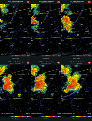
Yeah stuck under the weaker side of a thunderstorm now and getting some decent rain. The core is just a couple miles west and I'm sure they are getting a toadstrangler
 
f61021fad570b449ea18fb58a7e63a69.jpg


Some of the worst lightning I’ve seen in a long time coming through right now. Along with what appears to be a liquid falling from the sky, haven’t seen it in so long, unable to identify.


Sent from my iPhone using Tapatalk
 
No, we were only hoping it would not be below average in spring which is cold and unpleasant. It ruins the only time of the year that is pleasant for outdoor activity. Also, not once was it hot or humid this spring. Spring warmup are at best , outside of May, mostly June like at very hottest. Would you rather 70/50 or 55/30 in spring... and if its warmer than normal its more like 85/58 with low dews and pleasant still.
55/30 would be my dream spring.
 
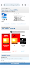
Record high tomorrow for DFW is 106*F, which may be attainable.

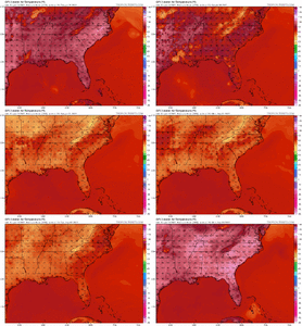
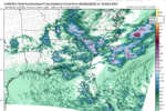
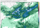
Here's the 00z NAM (before convection develops):

1657332514048.png

1657332346496.png
 
This is the most boring July I've ever experienced in S. Florida, and the only weather events are the two Daily Record High Minimum temperatures that we broke over the last week. If it wasn't for a pesky sun-shower cooling us down to a still uncomfortable 79 temperature and dew point, I'd be slightly more entertained. Monthly Record High Minimums almost always result in a big nighttime thunderstorm. It's just Mother Nature's way of telling the rising nighttime heat to back the F off.

I do think it's interesting that the North Pacific and NE Atlantic are extremely warm, but 2022 has the 13rd lowest Arctic Ice Extent in history. Also, looks like the gradient between the high over the Atlantic and Low in West Europe/Africa will relax over the next week, and warm the Eastern Atlantic. Should see some tropical waves attempting to breath a little in about a week, as the high relaxes and western trades creates opportunity for organized Convection.
cdas-sflux_ssta_global_1.png
 
Got more rain today. Didn't have any thunder or lightning at my house, but a house in town got struck by lightning. Looks like more storms tomorrow.
 
Both Union counties are being hit this week. I am up to 1.90 with more possibly on the way.
This evening has definitely the best one so far for me this week. After only 1.65” from 6/1-7/4, I had gotten 1.96” the previous 3 days. So far this evening I’m at 2.12” and it looks like it’s not done yet.
 
Welp, the 90s that were in the forecast beyond Tuesday are now gone. The lowest forecast high now is 100°F on Wednesday.
 
Back
Top