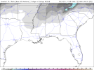
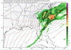
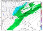
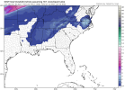
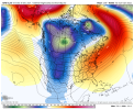
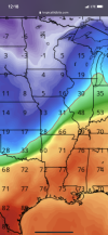
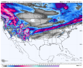
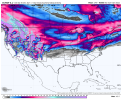
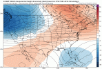
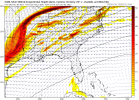
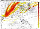
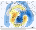
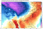
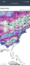
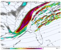
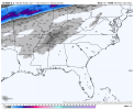
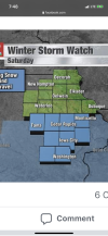
I tried conveying that we were very close to a much bigger deal and that these set ups can change by small tweaks in model runs .. we’re usually never on the good side of trends but we’ve clearly been heading in the right direction todayCrazy that yesterday the models were showing this just as a bland cold front. Let’s see how the ensembles look before we accept this as truth
-
Hello, please take a minute to check out our awesome content, contributed by the wonderful members of our community. We hope you'll add your own thoughts and opinions by making a free account!
You are using an out of date browser. It may not display this or other websites correctly.
You should upgrade or use an alternative browser.
You should upgrade or use an alternative browser.
Pattern Januworry
- Thread starter SD
- Start date
NBAcentel
Member
This gefs run looks a little worse imo
accu35
Member
Not terrible for a wake special in NCYea here it is. View attachment 99845
NBAcentel
Member
accu35
Member
This is really going to turn into a NAM watch type of storm dynamics are going to play a huge part here for some
accu35
Member
Wintry or not, the cold air will stay a while.
NBAcentel
Member
GFS took a nod towards the EPS wrt to the pattern change
That Canadian model has my attention.
NBAcentel
Member
Brent
Member
Wintry or not, the cold air will stay a while.
Not here. Back above normal Monday through Wednesday at least. Maybe another big front after that
Eh not great not terrible this can easily change slightly and those higher heights can move back East off the west coast .. better than that massive upper level low just spinning over California killing every chance we ever have but still bleh let’s just cash in on this first system lmao
Look hard and youll see pink Halifax County. Metwannabe speacil
LovingGulfLows
Member
- Joined
- Jan 5, 2017
- Messages
- 1,499
- Reaction score
- 4,100
Surprised that isn't snow in GA on the CMC. 2m Temps are at or near freezing along with sub-freezing 850mb layer.
Stephenb888
Member
I could be wrong but I don’t think this has any chance of being an I20 storm.That would be sweet if it became a I-20 to I-40 storm.
It's real close. The precip pulls away just as surface temps get close to freezing. Real close, and verbatim it wouldn't be at surprising to see the favored N&NW burbs get a car topper.Surprised that isn't snow in GA on the CMC. 2m Temps are at or near freezing along with sub-freezing 850mb layer.
Somebody post the Euro snow map when it comes out in a bit! I’m up! Please
accu35
Member
0z euro may be digging a bit this run
Webberweather53
Meteorologist
This entire thread is probably going to age like spoiled milk
Six Mile Wx
Member
Webberweather53
Meteorologist
Ole goofy ticked a little SE at 6z. Trying to give I-40 some wet snow. Interesting trend hopefully they hold today but I've seen this dance before so low expectations.
NBAcentel
Member
The changes in the NPAC on the gefs/eps is cringeworthy
Yea I highly doubt it also. But we can always dream.I could be wrong but I don’t think this has any chance of being an I20 storm.
Tarheelwx
Member
Quite the storm at the end of the 6z gfs.
TW
TW
Webberweather53
Meteorologist
Webberweather53
Meteorologist
LickWx
Member
Nobody knows the hour or even the model . Dude you regressed so hard . We showed you !Winner! ?View attachment 99872
Pretty small differences in the cmc gfs make a big difference in how many people have a chance at at least mixing in or ending as some flakes. If I lived in Northern Ms, most of tn, the northern 1/4th of Bama, far north GA, the nc mountains, and the nc border counties with VA I'd be a little excited for the possibility of seeing something though it might be fairly minor.
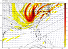
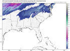
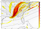


Depending on how the 12z look I might go ahead and start a thread for the weekend snow potential looks like there might be enough there especially for the western and Northern sections of the region to do so
Looks like ice/sleet for Atlanta with this lookWinner! ? 6z GFS op run?View attachment 99872

