• Hello, please take a minute to check out our awesome content, contributed by the wonderful members of our community. We hope you'll add your own thoughts and opinions by making a free account!

Wintry January 29th-30th ARCC Slam Dunk Winter Weather Threat

Hr 168 looks like another wave forms and sends some snow to South Louisiana

Sent from my SM-G950U using Tapatalk
 
(GFS FV3 18z) First three images is the first storm and the last two are the second storm (both after arctic front passage but before 240 hr)
 

Attachments

  • 3D68DC5E-2428-4EED-B984-A8E3ED2A4AA5.png
    3D68DC5E-2428-4EED-B984-A8E3ED2A4AA5.png
    734.1 KB · Views: 98
  • 92BDE9E7-9294-4858-887B-6764863E9988.png
    92BDE9E7-9294-4858-887B-6764863E9988.png
    744.7 KB · Views: 106
  • D42C97A5-95AE-4AD0-BD7C-7E6BDBD830BC.png
    D42C97A5-95AE-4AD0-BD7C-7E6BDBD830BC.png
    765.7 KB · Views: 105
  • C9D42670-18C3-4B30-8FB2-F31C7E4F2B52.png
    C9D42670-18C3-4B30-8FB2-F31C7E4F2B52.png
    769.4 KB · Views: 109
  • 25F48E78-4611-4E53-A14F-33F35DFB5FE1.png
    25F48E78-4611-4E53-A14F-33F35DFB5FE1.png
    773.4 KB · Views: 105
Looks as if another wave has formed. I’m sure we will lose it and gain it back over and over again.
 
fv3p_asnow_eus_31.png
storm number 1
 
Interesting. FV3 suggests that the original front will be hella dry, but a wave will then develop to give the deep south a nice snow. Euro on the other hand ditches the idea of the second wave but amps up the original front to bring some nice snow totals for most of the SE.
 
Just my amateur take but I think this storm will come down to the angle in which the Arctic front pushes through. Need that western ridge to stay where it is and a nudge further west is preferable
 
So now we get the snow hole in north Alabama according to these runs?
 
We want to pv to not press so much initially, so us folks In nc/sc can get in on that wave and it not be crushed to the south, I like the fv3 setup it’s just a little to far south with the developing wave but then gets crushed by the pv iron press lol
 
We want to pv to not press so much initially, so us folks In nc/sc can get in on that wave and it not be crushed to the south, I like the fv3 setup it’s just a little to far south with the developing wave but then gets crushed by the pv iron press lol
GFS is likely too progressive with the PV push but I couldn’t really say that with much certainty. It’s just such a fickle setup if you want to see snow fly
 
If I’m not mistaken a thing that helped our snow rates out last year in the Nc Piedmont was a lee trough aiding in precip development
 
Also I could see this turn into another mess for the big cities (if we actually have the precip) if people don’t take the arctic front for real. This one has potential if that wave does develop.
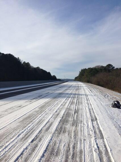
 
I also want to say I DO think we need a wave to develop or there will be a ton of pissed off people. I’m very skeptical of a front having that much precip with it. They usually dry out.

One last thing... this will likely be one of those cases where the cold air will squeeze every bit of moisture available. Interesting storm.
 
Last edited:
If you look at the GEFS grams like Stormlover posted above, you can see where they are really keying in on a separate system right around the first of the month, and the first one is a trace-3 inch type deal. I’ve been looking at those charts for the past two days, and this is a new thing to my eye.
 
Back
Top