Six Mile Wx
Member
Jan 21
Attachments
-
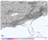 1885070C-1A20-41D3-B4A7-05A35EA4F35A.png67.1 KB · Views: 54
 -
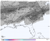 A18874CB-A082-422F-8A87-5740FAA016F0.png71.3 KB · Views: 54
 -
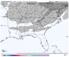 9F08B3F3-B579-450A-8943-BC4F04DFB192.png64.3 KB · Views: 51
 -
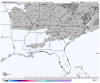 9D32443E-A965-407B-AB47-373BCADF26D9.png62.1 KB · Views: 49
 -
 6C9207D9-4352-4D10-83DF-77F340660A85.png66.9 KB · Views: 49


.png")

