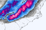
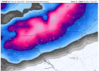
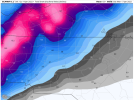
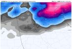
Update from Memphis:
Area Forecast Discussion
National Weather Service Memphis TN
1100 AM CST Fri Jan 14 2022
.UPDATE...
A nice and quiet morning across the Mid-South, minus all the
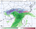
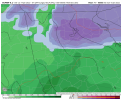
phone calls. 06Z model guidance continues to advertise a
smorgasboard of solutions with respect to the winter storm that is
about 30 hours away. The good news, however, is that
hi-res
ensemble data is nearly at our fingertips. The hope is to upgrade
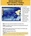
some portion of the Winter Storm
Watch to a Winter Storm
Warning
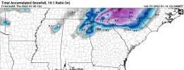
with this afternoon`s package. For now, the current forecast
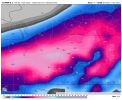
looks to be in line with last night`s 00Z data, with the brunt of
the snowfall occurring along the I-40 corridor in west Tennessee.
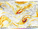
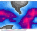
The main forecast concern today will be with where the
deformation zone sets up. This is where the best lift,
shear, and
moisture overlap and produce intense snowfall rates. This zone
tends to set up in bands, of which there could be several tomorrow
night and into Sunday morning. Areas in the deformation zone have
the potential to see serious impacts, due to much higher snowfall
amounts.
Hi-res data should help to sort our the highest
confidence region soon.
The current forecast is on track with no major changes needed at
this time.
