iGRXY
Member

I hear you but it's not 3-4 days anymore. This will be go time for the Carolina's in less than 60 hours, and hitting TN/AL in about 48. Getting close - short range models gonna tell the tale!If you think we have the final answer 3-4 days out you are going to be sorely wrong. Do we really think the models (short range especially) won't change some in all that time. We know it will. Hopefully for the better for many
Still not accurate. I know because it has Chattanooga getting a foot.Yeah other "accumulations" you saw on the other map was all ice whether it is sleet or freezing rain.. still a problematic set up just not due to snow
How reliable is this short term model?RGEM drops over a foot on Memphis and still going at the end of the run.
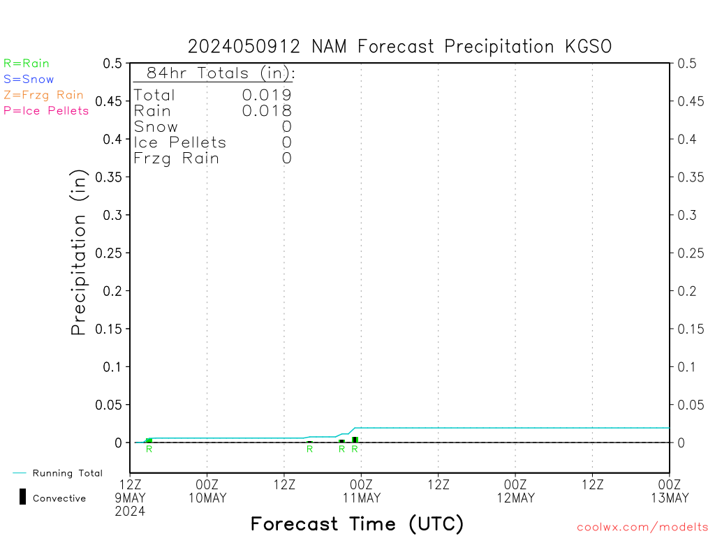
View attachment 104968
View attachment 104969
Right now to see if the south and east trends continue with the forecast track and if that hard left turn the CMC, Euro, and Icon continues( it looks odd and I’m not sure if I’ve ever seen before). By tonight’s 0z runs, all the pieces of energy should be on shore so data sampling should be as good as it gets. Also with the 0z NAM tonight I’m gonna start paying closer attention to its thermals… even though this still appears to be a very strong and deep CAD, there is going to be a warm nose… the question is what level of the atmosphere is it at and how deep it isSo what things (trends) are we looking for from now until the start that will help us all benefit more from this?
Would you mind posting KRYY in Cobb County, just north of Atlanta?
Thanks

Where do you think the line will setup between a sleet storm and major ice storm with power outages? My guess would be from Troy, NC to West of Durham.Major ice storm incoming for the Carolinas, that's for sure. How much snow ahead of the ice, then how much will be sleet vs fzrn are the major questions now.
Yikes
I'm just NW of town and it's a close shave IMO.Where do you think the line will setup between a sleet storm and major ice storm with power outages? My guess would be from Troy, NC to West of Durham.
Yikes
Oh gosh, that's always a tough call in these setups. Probably from Burlington down to CLT or so and to the west will be primarily snow to start then sleet with minimal freezing rain. All bets are off east of there to roughly I-95 with the probability of heavy freezing rain. Of course, this is subject to major revisionsWhere do you think the line will setup between a sleet storm and major ice storm with power outages? My guess would be from Troy, NC to West of Durham.
I think it should stay into one thread tbhPerhaps as we get closer to the event we can separate this into two threads? This could be a crippling ice storm for some and a rewarding snowstorm for others.
If I remember correctly, the GFS was coupled with the ocean in recent years. Still could be valid that there's room for improvement when modeling impacts of SSTs on dynamic storm systems like this. I really don't know...Isn’t this in theory accounted for in the modeling? I’m pretty sure SSTs are included in the models, though I may be wrong?
Definitely, the same thread because this storm is fluid and is going to change up until the last hour. At least that's what my instincts are telling me.Perhaps as we get closer to the event we can separate this into two threads? This could be a crippling ice storm for some and a rewarding snowstorm for others.


Awesome work, Grit. Do you have any thoughts on the Atlanta metro icing situation? I know you are saying you favor the NAM thermals, which would lead to a very high-impact scenario down here. Think many here in North Georgia would love your thoughts.First forecast on the storm...
I would assume that to be the case. I mean with all the data that has to go into these models, you would think that SSTs would be one of themIsn’t this in theory accounted for in the modeling? I’m pretty sure SSTs are included in the models, though I may be wrong?

What will be the highest target levels?Major ice storm incoming for the Carolinas, that's for sure. How much snow ahead of the ice, then how much will be sleet vs fzrn are the major questions now.


