• Hello, please take a minute to check out our awesome content, contributed by the wonderful members of our community. We hope you'll add your own thoughts and opinions by making a free account!

Wintry Jan 15-16 Winter Storm Discussion & Obs

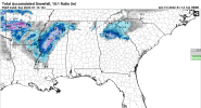
That's major ice for a huge chuck SC. My hope is we can trend even colder and and shear out the engery more and more, so we push the low pressure system towards northern Gulf, then more of us get snow/sleet and less areas with freezing rain. Basically wishcasting at this point,but just maybe we pull a Feb 2014 and avoid a very damnaging and historic ice storm.
My hope is we can get more of a Ukie like setup, from the past few runs. LP is in a good spot and we get a nice, entrenched cold air push locked in from the HP. You are right though, that energy out west has to get sheared more. Definitely don't want that 50/50 bolting on us too fast either.
 
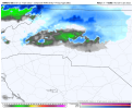
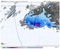
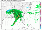
ICON saves much of NGA including the Atlanta area with an area of snow associated with the strong upper level low overhead. I honestly wouldn't be surprised if the backend snow trends more potent as we get closer to the event, similar to the early Jan event.

Yeah that’s a definite improvement for NGA. Would watch that trailing clipper too.


Sent from my iPhone using Tapatalk
 
My hope is we can get more of a Ukie like setup, from the past few runs. LP is in a good spot and we get a nice, entrenched cold air push locked in from the HP. You are right though, that energy out west has to get sheared more. Definitely don't want that 50/50 bolting on us too fast either.

Ukie and Icon now, can't forget that. Both I believe are now similar with the southern transfer. We're forming an alliance. Hopefully America joins the coalition today.
 
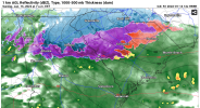
lp even further north than 06z lol
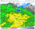
gfs_ref_frzn_seus_15.png
 
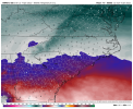
Not a great track through NC on the ICON. Still Yuck for lots of places.
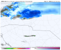
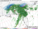
icon_mslp_pcpn_frzn_seus_36.png

Yep the trend has to go back to offshore for snow, storms that cut right up the coast or inland do not work out for NC.....well east if the Triad anyways.....that would be heavy rain rates into temps in the low 30's so the upside would be that it it would make it hard for the ice to build up quickly....the ICON actually curls the low WEST of my longitude over Virginia....

Really need this to start trending south, I was encouraged with the ICON shifted a lot south over the mid south.....but that did not really translate into the track up in NC......we need it to flatten out and for the low to move from the panhandle to off the NC capes.....

The latest run held the high better over NE even, but still ended up over eastern NC......hopefully this is the beginning of a trend though and we see this all move back to where it was a few days ago...

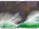
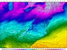
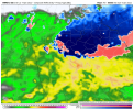
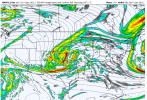
icon_mslp_pcpn_frzn_us_fh102_trend.gif
 
Back
Top