-
Hello, please take a minute to check out our awesome content, contributed by the wonderful members of our community. We hope you'll add your own thoughts and opinions by making a free account!
You are using an out of date browser. It may not display this or other websites correctly.
You should upgrade or use an alternative browser.
You should upgrade or use an alternative browser.
Wintry Jan 15-16 Winter Storm Discussion & Obs
- Thread starter SD
- Start date
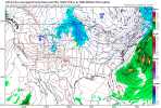
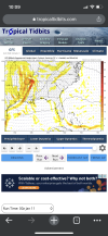
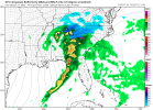
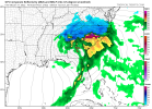
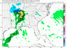
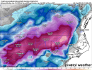
This might even get more people on the board in the game. (Further West). Dang.This is going to be just sick...View attachment 103528
NBAcentel
Member
iGRXY
Member
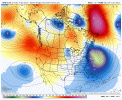
This run is about to be ridiculous based on H5.
accu35
Member
Low over central Ark. much further west
accu35
Member
brendan123
Member
Kind of reminds me of Jan 28th last year, at least with how the energy comes in from the NW
NBAcentel
Member
Cary_Snow95
Member
ForsythSnow
Moderator
That low is 7 mb lower that the last run. Going to be a major storm this run for someone.
iGRXY
Member
That’s a funky look. The 850 low is too far NW, over N AL
Cary_Snow95
Member
Look at that fetch out of the GOM ?
This is a bomb ?
BufordWX
Member
Oh man there’s already foot totals showing up about 3/4 through the storm over much of NC
NBAcentel
Member
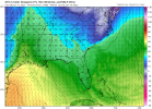
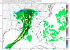
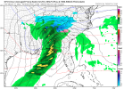
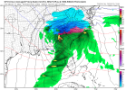
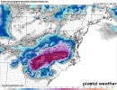
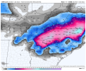
Well that’s disappointing. North Alabama gets screwed again. lol. So close through.View attachment 103540
Ohhhhhhh man. I20 be on the lookout shortly.
Convection robbing moisture transport! ?Look at that fetch out of the GOM ?
LovingGulfLows
Member
- Joined
- Jan 5, 2017
- Messages
- 1,499
- Reaction score
- 4,100
546 dm closed ull over me in mid-January with a TPV lurking in southeastern Canada and somehow I'm rain/ice. Okay.
Storm5
Member
Gatlinburg smoked ! Nc crushed
Sent from my iPhone using Tapatalk
Sent from my iPhone using Tapatalk
We’re going to crash this board.
Sent from my iPhone using Tapatalk
Sent from my iPhone using Tapatalk
850s are worrisome on this run
iGRXY
Member
85 going to get hammered here
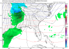
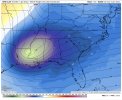
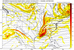
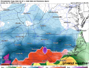
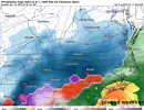
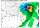
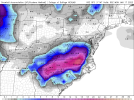
Except it’s everything 2018 wasn’t … COLDThis looks like December 2018 nowView attachment 103547View attachment 103548
ForsythSnow
Moderator
BufordWX
Member
Just a dream of a wave pass on the GFS. What a storm. Keep the momentum going here
Major coastal storm on the GFS holy BALLS … I THINK ITS A BLIZZARD
NBAcentel
Member
Jrips2710
Member

