-
Hello, please take a minute to check out our awesome content, contributed by the wonderful members of our community. We hope you'll add your own thoughts and opinions by making a free account!
You are using an out of date browser. It may not display this or other websites correctly.
You should upgrade or use an alternative browser.
You should upgrade or use an alternative browser.
Pattern Jammin January 2023
- Thread starter Goose88
- Start date
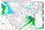
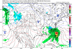
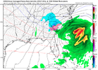
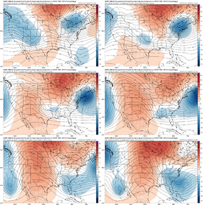
Yes. Prime setup. This one has legsCMC keeping hope alive!View attachment 129279View attachment 129278
I think 13-15th has real potential. GFS and euro have been trying to sniff at something for a little now as well as the CMC
lexxnchloe
Member
GFS has some snow in northern NC


I personally put more weight into the MJO than anything else when it comes to cold. We shall see.Word from JB-
January 3, 2022
I'm in a State of Confusion by the disagreement between each model's MJO and surface temperature forecasts.
Originally our idea for January was that the warm MJO signals would bring the end of winter after the colder start. The years 1951,1990, and 2006 served as analogs for this.
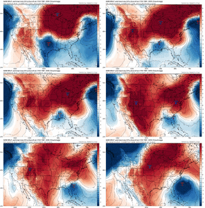
The analogs above are very close to the recent CFSv2 forecasts:
When I saw that the MJO is in fact staying away from the warm phases, I realized the premise was incorrect. This is why I believe the pattern will cool down significantly after the first ten days.
As I said though, the confusing part is that models' MJO forecasts are becoming stronger into cold phases, while their United States temperature forecasts continue to be warm.
All these forecasts bring us to Phase 8 by Week 2, which is a strong indicator for cold, yet surface temperature forecasts are still extremely warm.
My take is that the pattern will shift to cold, as ridging breaks down over the Eastern United States and the ridge sets up back over Western Canada. I simply don't see how we can see a warm pattern with such a strong cold signal in the MJO.
But for now either me or the models are in a State of confusion
I can’t remember the last time it rained this hard. This morning was wild. I’m warshed out, Mack.Droughtbuster View attachment 129287
- Joined
- Jan 2, 2017
- Messages
- 1,566
- Reaction score
- 4,279
Yea its been a frog strangler-2.94" since 4pm yesterday. A boat load of thunder and lightning. The 13th is a lock now!I can’t remember the last time it rained this hard. This morning was wild. I’m warshed out, Mack.
Absolutely, NWS was calling for 1/4” for my area last night and I’m pretty sure we surpassed that! I don’t have a rain gauge to be exact though. I wonder how much the next few weeks will put us above drought range in South Central NCDroughtbuster View attachment 129287
iGRXY
Member
Crazy rain since yesterday evening. Many roads up here are under a foot of water or more.
Currently freezing drizzle and 31I can’t remember the last time it rained this hard. This morning was wild. I’m warshed out, Mack.
Good times! Roads are garbage
Blue_Ridge_Escarpment
Member
And they say people in the south overreact and can’t drive in those conditions ?Currently freezing drizzle and 31
Good times! Roads are garbage
iGRXY
Member
Well it's thundering like crazy here so that ole wise tale of snow in 10 days hopefully lines up since the models are honking at maybe something around the 15th.
it was a wild night - rained late yesterday but about 2 AM the storms hit. Biggest storm in a while, was still going on about 7. Monster storm, about 3" so far
Webberweather53
Meteorologist
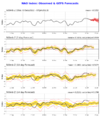
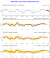
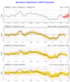
Teleconnections are awful after mid month. NAO remains positive. AO goes toward positive and PNA heads toward negative.
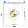
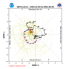
Spin it however you will the MJO is all that's good..can it win out or do we blow phase 8 like we blew the -NAO?
ATTACH=full]129289[/ATTACH]View attachment 129290View attachment 129291View attachment 129292
The MJO is only lessening the amount of warmth we actually could be seeing if it wasn’t in the western hemisphere right now. Not a good sign when it comes around the Maritime Continent in Feb
Webberweather53
Meteorologist
Lol! They shut down the main road through Iowa around me. HWY 20And they say people in the south overreact and can’t drive in those conditions ?
The problem is everybody thinks they are experts cause they lived up here their whole life! But ice is always trouble anywhere! Currently 31, drizzle! They have delayed and closed a lot of schools due to this!
Iceagewhereartthou
Member
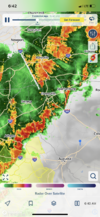
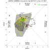
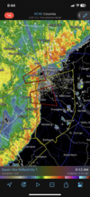
CAE about to get buried today based on this radar and trajectory, flooding very probable. Stay safe everyone.

Edit to add these 24 hour totals from GSP as of 7am. Lots of street flooding in the upstate this am.
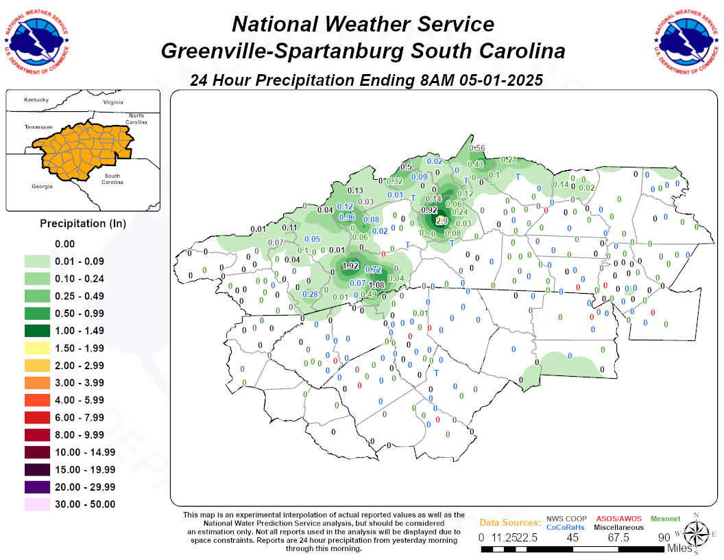

Edit to add these 24 hour totals from GSP as of 7am. Lots of street flooding in the upstate this am.

Last edited:
I can confirm those red hues mean business. It’s like a waterfall. No moisture robbing convection to the south and it’s unloading gulf moisture.CAE about to get buried today based on this radar and trajectory, flooding very probable. Stay safe everyone.

Webberweather53
Meteorologist
CAE about to get buried today based on this radar and trajectory, flooding very probable. Stay safe everyone.

Edit to add these 24 hour totals from GSP as of 7am. Lots of street flooding in the upstate this am.

Multiple tornado warnings on that line near Columbia, SC.
The other cell near Lugoff is starting to look conspicuous too
Just a quick update after scanning the data this morning:
We continue to look to have a 30 to 45 minute window around Jan 29 for a short fuse snowstorm. After that, the combination of the strongest SPV on record, coming out of a Super Nino into a fading Nina pattern during peak Nina warm signal winter climo, along with the MJO going into Phase 5 and a 6×10^-4 MT event will give us a good shot at mid 80s to around 90 for the balance of the winter. No need to throw in the towel just yet, though. After the pattern burnout in late March, the end of the month or early April should offer up another excellent window for a wet snow. Cheers
We continue to look to have a 30 to 45 minute window around Jan 29 for a short fuse snowstorm. After that, the combination of the strongest SPV on record, coming out of a Super Nino into a fading Nina pattern during peak Nina warm signal winter climo, along with the MJO going into Phase 5 and a 6×10^-4 MT event will give us a good shot at mid 80s to around 90 for the balance of the winter. No need to throw in the towel just yet, though. After the pattern burnout in late March, the end of the month or early April should offer up another excellent window for a wet snow. Cheers
3.33" from this one and it sounded like a little hail last night. My creek is about as far out of its banks as I've seen since we moved.
Sleet lovers rejoice!


Don’t look at CMC or GFS we should be in full SER flame mode during that time period as we’ve been promised.
CltNative90
Member
GFS very progressive with the wave and only marginal cold air. Liking the fact the Canadian is showing high pressure to the NE for two runs in a row. That’s probably the only way this works outside of I-40 north. Would be nice if the Euro and ensembles could follow suit.
rburrel2
Member
Cmc is a really nice evolution for a winter storm. Also 180hr icon has a similar look.
Notice that also.Cmc is a really nice evolution for a winter storm. Also 180hr icon has a similar look.
D
Deleted member 609
Guest
Cad Wedge NC
Member
Wait, you posted just last year about how phase 7 and 8 had the most snowstorms in January. The MJO does have a huge influence on our ability to get cold enough for winterstorms.
Cad Wedge NC
Member
No, this looks out to sea. There will not be any moisture thrown back that far inland with a low that far out. Looks like it will have to trend NW if we are going to get anything.NW trend should put this storm in... checks notes... Dubuque by day 10.
View attachment 129311
- Joined
- Jan 23, 2021
- Messages
- 4,602
- Reaction score
- 15,197
- Location
- Lebanon Township, Durham County NC
The canadian can keep that storm right where it is until next Thursday when we'll be back to collect for those of us north of 40/85 ?.
GFS had a one two punch that run too. Interesting.
GFS had a one two punch that run too. Interesting.
I was looking back in last years thread and this is about the time we started getting hints at the Jan 16 winter storm. Things were not looking good until about 5-6 days before. Let’s see if we can make something happen.
- Joined
- Jan 23, 2021
- Messages
- 4,602
- Reaction score
- 15,197
- Location
- Lebanon Township, Durham County NC
NBAcentel
Member
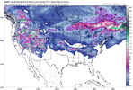
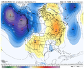
There is some mild ensemble support, esp on the CMCE, it’s nowhere near as weenie, but the pattern is very Miller B esque, weak SE Canada vortex, higher heights in between, southern stream wave. A basic CAD/Miller B look. need to trend to a stronger SE Canada vortex. Way to do that is slow down the pacific trough/build higher heights in central canada to encourage more northern stream digging, which is very much possible, and amp up the vortex so it slows a bit. The biggest problem i see here is, in this progressive pattern, there’s nothing to keep it in place, so this is something that would have to be perfect timing 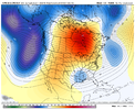


Last edited:
Believe 12z euro yesterday Miller B and it bombed it off NE same time frame.
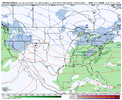
If we had this inside 36 hours it would still be extremely suspect. I think this pattern is priming for a big mid month Appalachian snow. Active southern stream with east coast ridging hanging around and marginal cold. This is when the big dogs like to eat.There is some mild ensemble support, esp on the CMCE, it’s nowhere near as weenie, but the pattern is very Miller B esque, weak SE Canada vortex, higher heights in between, southern stream wave. A basic CAD/Miller B look. need to trend to a stronger SE Canada vortex. Way to do that is slow down the pacific trough/build higher heights in central canada to encourage more northern stream digging, which is very much possible. The biggest problem i see here is, in this progressive pattern, there’s nothing to keep it in place, so this is something that would have to be perfect timing View attachment 129315View attachment 129316

