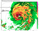
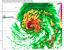
They may up the peak strength up to upper-end Cat 2 since the Euro came in stronger. 965 mb.I don't know for sure, but my **GUESS** is that NHC will slight adjust again East on track.
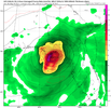
The two storms are getting so close, might be a Fujiwara affect at some point?Big oof on the GFS View attachment 136525
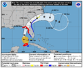
It looks to me like the 18z GFS and the 18z Euro line up pretty well with the current forecast track.I don't know for sure, but my **GUESS** is that NHC will slight adjust again East on track.
Yeah euro definitely a tick to the westIt looks to me like the 18z GFS and the 18z Euro line up pretty well with the current forecast track.
Obviously still 48 hrs out but it looks like models are really starting to converge around Cedar Key
Euro was a bit slower with the troughYeah euro definitely a tick to the west
If Franklin keeps crawling west it may mean a slower trough is the right ideaEuro was a bit slower with the trough
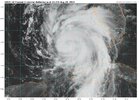
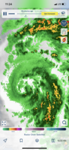
Very possible. Looking at the radar and satellite the past couple hours, the center seems to be moving more westward than anything. The GFS has been having it start with a NNW motion while other models have been east of due north.If Franklin keeps crawling west it may mean a slower trough is the right idea
Stay on it. Ill be back down in Brunswick co Thurs, Friday. Fast mover, exit and Franklin my cause some tide problemsIf Franklin keeps crawling west it may mean a slower trough is the right idea
Franklin appears to be turning northward now, I doubt we see any big swings in forecast track from here on out imhoIf Franklin keeps crawling west it may mean a slower trough is the right idea
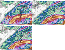
Yeah the icon and euro have shown this general track now for quite a while. Need the Euro intensity for here though. I'd be looking at TS force gusts I think with the. 18zFranklin appears to be turning northward now, I doubt we see any big swings in forecast track from here on out imho
10L IDALIA 230828 0000 19.8N 85.4W ATL 45 992
SUMMARY OF 1000 PM CDT...0300 UTC...INFORMATION
-----------------------------------------------
LOCATION...19.8N 85.3W
ABOUT 145 MI...235 KM S OF THE WESTERN TIP OF CUBA
MAXIMUM SUSTAINED WINDS...60 MPH...95 KM/H
PRESENT MOVEMENT...STATIONARY
MINIMUM CENTRAL PRESSURE...992 MB...29.30 INCHES