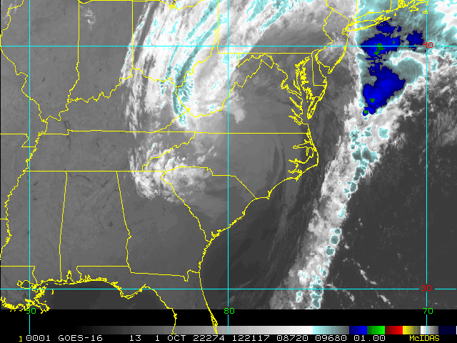
He lookin very raggedy on that satellite presentation! ?
-
Hello, please take a minute to check out our awesome content, contributed by the wonderful members of our community. We hope you'll add your own thoughts and opinions by making a free account!
You are using an out of date browser. It may not display this or other websites correctly.
You should upgrade or use an alternative browser.
You should upgrade or use an alternative browser.
Tropical Hurricane Ian
- Thread starter severestorm
- Start date
-
- Tags
- tropical
Looks like some dry air trying to wrap in on the S and SE side. It’s struggling. I don’t think it makes it to a 4, if something doesn’t change soon
Smoked

IR AND WATERVAPOR STILL SHOWING A STRONG CANE WITH NO DRY AIR FROM WHAT I CAN SEE
>280 GtG


iGRXY
Member
Yeah there’s no dry air wrapping in this storm right now.
Belle Lechat
Member
- Joined
- Aug 29, 2021
- Messages
- 1,547
- Reaction score
- 1,224
Time : 065020 UTC
Lat : 25:35:24 N Lon : 82:46:47 W
CI# /Pressure/ Vmax
6.7 / 927mb / 132kts
Final T# Adj T# Raw T#
6.7 7.2 7.2
I'm not really knowledgeable about this, how they get the pressure readings.

Lat : 25:35:24 N Lon : 82:46:47 W
CI# /Pressure/ Vmax
6.7 / 927mb / 132kts
Final T# Adj T# Raw T#
6.7 7.2 7.2
I'm not really knowledgeable about this, how they get the pressure readings.
FROM LATEST WATER VAPOR SAT IM SEEING A DUE NORTH TRAVEL RIGHT NOW
.gif")
Belle Lechat
Member
- Joined
- Aug 29, 2021
- Messages
- 1,547
- Reaction score
- 1,224
Time : 072020 UTC
Lat : 25:41:24 N Lon : 82:53:23 W
CI# /Pressure/ Vmax
6.8 (+.1) / 925mb (-2) / 135kts (+3)
Final T# Adj T# Raw T#
6.8 (+.1) 7.0 (-.2) 7.0 (-.2)
Lat : 25:41:24 N Lon : 82:53:23 W
CI# /Pressure/ Vmax
6.8 (+.1) / 925mb (-2) / 135kts (+3)
Final T# Adj T# Raw T#
6.8 (+.1) 7.0 (-.2) 7.0 (-.2)
Might see another eastward shift with track forecast as NHC track is on west side of guidance

Pressure is down
Seeing a pressure 939.9 in dropsound but I think they chose to go with 942 officially .. still 10 mb lower from last official reading .. good lord
06z NAM with strengthening 964mb off the SC coast vs 990mb same time last run. It's probably crazy though.
Edit: 3KM NAM completely different all the way around, weak etc. Tracks into Southern GA.
Edit: 3KM NAM completely different all the way around, weak etc. Tracks into Southern GA.
I agree, though I will say these guidance plots seem to be fairly consistent since yesterday at 12z with obviously the normal 30-40 mile waffle back and forth from run to run. Also looking at the water vapor it appears to be a bit more on a due north heading for the last little while… could just be a wobble, but I know the latest HWRF was back to a landfall close to Tampa againMight see another eastward shift with track forecast as NHC track is on west side of guidance
View attachment 122374
Fountainguy97
Member
Ian is making a legit run for cat 5. If the eye can clear and these towers continue to fire he may just get there.


141 kt flight level winds … jesus
Ian is making a legit run for cat 5. If the eye can clear and these towers continue to fire he may just get there.
View attachment 122375View attachment 122376
140 kt FL in the northeast eyewall.
Ian has been busy the last few hours.
Category 4. 140 mph
SUSTAINED @140MPH

Been driving all night no sleep. No fun finally almost to Tampa
Punts Gorda final spot
Eye warming. Explosive lightning continuing to fire in the center. This thing doesn’t give a crap about shear. This area of maxed out velocities has grown substantially. We’re about to witness something horrific in Florida.

and looking at the water vapor right now, there is absolutely no sign of dry air getting into the core… it definitely has a shot at cat 5Eye warming. Explosive lightning continuing to fire in the center. This thing doesn’t give a crap about shear. This area of maxed out velocities has grown substantially. We’re about to witness something horrific in Florida.View attachment 122380View attachment 122379
That would be something .. it needs 16 more mph .. if the eye clears .. look out!and looking at the water vapor right now, there is absolutely no sign of dry air getting into the core… it definitely has a shot at cat 5
DadOfJax
Member
Streaming?Punts Gorda final spot
SimeonNC
Member
Streaming?
Ha. That looks like MichaelThis is just insane, a few days ago models and the NHC had this storm being shredded before landfall.
SimeonNC
Member
That northern eyewall is really popping off.
I’ll try to stream.
Cold cloud tops continue to fire and wrap. Models did have this weakening upon landfall but that was mainly for the north Florida coast landfalls where shear is way stronger. I tried to convey that the further south this goes the less it would weaken and caveat it would actually strengthen upon approach since less shear interaction but also less time over water.. turns out it didn’t need time to explode. I mean I’ve never seen a storm withstand for so long these extremely cold cloud tops wrapping the system. 
One of the more impressive eye walls I’ve ever seen. Almost completely closed off too.. I just can’t fathom what it is like inside this ring of death. 
I will find out soon
Recon measured 131 kt at the surface in the northern eyewall.

Yeah pretty solid consensus now of exit off NE coast of FL, short trek over Atl back inland Ga/SC.I agree, though I will say these guidance plots seem to be fairly consistent since yesterday at 12z with obviously the normal 30-40 mile waffle back and forth from run to run. Also looking at the water vapor it appears to be a bit more on a due north heading for the last little while… could just be a wobble, but I know the latest HWRF was back to a landfall close to Tampa again
Tons of lightning in the eyewall, he's putting on a show right now.... crap!
Btw 6z GFS 2nd landfall Ga/SC border formidable Cat 1
?

Belle Lechat
Member
- Joined
- Aug 29, 2021
- Messages
- 1,547
- Reaction score
- 1,224
SUMMARY OF 600 AM EDT...1000 UTC...INFORMATION
----------------------------------------------
LOCATION...25.8N 82.8W
ABOUT 55 MI...100 KM WSW OF NAPLES FLORIDA
ABOUT 85 MI...140 KM SSW OF PUNTA GORDA FLORIDA
MAXIMUM SUSTAINED WINDS...140 MPH...220 KM/H
PRESENT MOVEMENT...NNE OR 15 DEGREES AT 10 MPH...17 KM/H
MINIMUM CENTRAL PRESSURE...941 MB...27.79 INCHES
The interesting thing about that is that if it were still heading towards the panhandle or Big Bend, it would have been sheared greatly before landfall there, but at this latitude the shear has actually aided the storm and helped it vent its outflowThis is just insane, a few days ago models and the NHC had this storm being shredded before landfall.
Here is his final act right! Looks amazingTons of lightning in the eyewall, he's putting on a show right now.... crap!