• Hello, please take a minute to check out our awesome content, contributed by the wonderful members of our community. We hope you'll add your own thoughts and opinions by making a free account!

Wintry February 19-21, 2020 Winter Storm

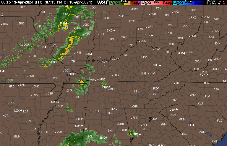
Initial BL is major issue, it's showing rain with this sounding and this one is imby which rates aren't that heavy during this time, which isn't helping cool the lower levels either. Hate to see qpf wasted on white rain

Hopefully wont be losing much QPF to rain, once rates get good it will be IP/SN mix at worst, heck they already report IP etc under the heavier returns to the SW and we have a better profile here than there already....the real issue is cooling the surface and that's where the banding precip comes in, in my experience any kind of decent rates will push the surface temp to freezing, by mid afternoon at the latest we should see accumulating snow, if we can get 75% of the QPF to fall frozen and stick we are golden.
 
I'll go ahead and remind y'all that most likely, off topic post will just get deleted today. Comments will be coming fast and furious, just no way we can keep up, so help us out. Thanks
Yep. If you even think your post is off topic put it in the whamby thread.
 
12z hrrr showing the rain/snow line just south of uptown clt into the upstate by 1pm. if it verifies then upstate to clt could see some decent totals. if you look at the coor coefficient line in radarscope you can see it moving south this morning. currently just north of charlotte.
hrrr_ref_frzn_seus_6.png
What website or source do you use for the coor coefficient? I have the radarscope app but can not find it. starting to think it's under their Pro or Pro 2 setting that you have to pay more for. That is a very useful tool to watch the rain snow line today.
 
What website or source do you use for the coor coefficient? I have the radarscope app but can not find it. starting to think it's under their Pro or Pro 2 setting that you have to pay more for. That is a very useful tool to watch the rain snow line today.
it is under dual pol
 
I read last night that it is no longer ran parallel and a new HRRR4 is supposed to be implemented later this year. Because of this not only does the current HRRR miss in transition zones (PBL mixing issues) but it also misses on northward extent of modeled reflectivity. Because of this I’m not considering how dry it is for areas west of I-95


Sent from my iPhone using Tapatalk
I moved this post from @Jon from the call map thread to over here because it helps explain some of the possible issues with the HRRR, might also help ease some NW Piedmont folk's mind (@Poimen ) ;)

Call it wishcasting, call me a weenie, but I think the HRRR will continue to play catch up today and watch that accum map @SD shared above expand back west
 
12z hrrr showing the rain/snow line just south of uptown clt into the upstate by 1pm. if it verifies then upstate to clt could see some decent totals. if you look at the coor coefficient line in radarscope you can see it moving south this morning. currently just north of charlotte.
hrrr_ref_frzn_seus_6.png
A few pellets of sleet here in Lake Wylie.
 
I moved this post from @Jon from the call map thread to over here because it helps explain some of the possible issues with the HRRR, might also help ease some NW Piedmont folk's mind (@Poimen ) ;)

Call it wishcasting, call me a weenie, but I think the HRRR will continue to play catch up today and watch that accum map @SD shared above expand back west

Thanks. I'm going to reserve further judgment until I see the NAMs. But, given that the RAP is in lock-step with the HRRR (re. qpf) for our area, I'm a bit concerned for our area. But again, they could both be ending the event too quickly here, so there's that.
 
Thanks. I'm going to reserve further judgment until I see the NAMs. But, given that the RAP is in lock-step with the HRRR (re. qpf) for our area, I'm a bit concerned for our area. But again, they could both be ending the event too quickly here, so there's that.
NAM might be tick less amped, gonna be a quick hitter, especially out your way unfortunately.... but you should be all snow
 
I allowed myself to get suckered by the NAM. That will never happen again. It is what it is. I will enjoy whatever comes my way today, but I'm not expecting much.
 
Several runs of the NAM yesterday were spitting out .6-.7" qpf for the Triad. This morning's NAM just gave my BY a paltry .17"!

Agreed. That's pretty horrible. I've gotten NAM'D! This is essentially a non-event for clt. Wow. Kuchera below.

1582206934795.png
 
I allowed myself to get suckered by the NAM. That will never happen again. It is what it is. I will enjoy whatever comes my way today, but I'm not expecting much.
It's easy to do. There are lots of opinions that get posted about how the NAM is better since the upgrade or why it's realistic with whatever, but just going from years of experience watching that model, it almost always seems to overdo precipitation amounts at lead and then back off as you move in, when snow is involved. I don't usually watch it that closely outside of winter events, but I assume it probably does the same. I use the NAM as a pretty good indicator of thermals, but I don't put a lot of stock in it's QPF outside of 12-24 hours...and even that can sometimes result in error. They don't call it getting Nam'd for nothing.
 
12z Nam is much flatter and faster. Less precip in NC so far. Probably going to be similar to other models with the snowfall output now.
Still looks great (especially 3km) for places like Raleigh eastward .. with nice heavy bands and a clear back building trend at the end
 
Just so everyone is clear: I am referring to my back yard. Some folks are going to do very well today. Of that I have no doubt. But for the NW Piedmont, it's probably going to finish on the low side. I'll be more than happy to have a pie of crow if I am wrong.
 
Back
Top