• Hello, please take a minute to check out our awesome content, contributed by the wonderful members of our community. We hope you'll add your own thoughts and opinions by making a free account!

Wintry Feb 6-8 2022 Winter Potential

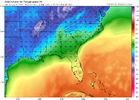
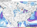
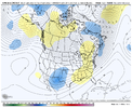
Now this glacier to our north should help our future CADS tremendously. This would make a 1030 CAD get pretty cold down here
Very reminiscent to how extensive the snowpack was up there going into February 2004… a number of strong CADs set up from late January on and some weren’t even from highs all that strong… the 2/26-27 storm that year had a CAD high that was only 1030mb and not in the best location
 
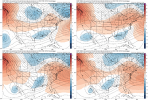
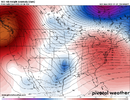
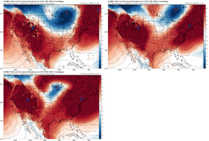
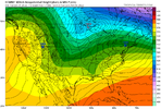
Do you have the H5 set up for 2/2014… this set up doesn’t appear that much different
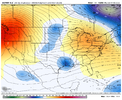
There’s definitely some differences at H5, but interestingly has a similar cutoff ridge around Siberia - the pattern overall this past jan has been similar to 2014 tho 4B872A5A-B255-4C7C-A1B4-5DA0E32C48EC.gif06152936-4AEA-413F-A046-CB6035D5DCC9.png
 
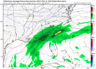
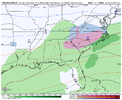
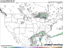
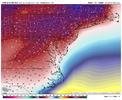
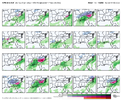
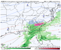
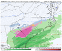
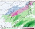
GFS develops precip but when the high is already moving out. but it’s slow with the progression of the southern stream and instead gets energy out of Canada which mucks things up. given how progressive the pattern is, we’re having to thread the needle with SS wave placement and high pressure
 
RAH keeping an eye on the potential:

Saturday and Sunday: The upper trough over the Great Lakes will
progress through the Northeast and mid-Atlantic on Saturday while
the cutoff low over the southern Plains begins to move eastward.
Another northern stream wave will move east along the Canadian
border and into the Great Lakes Sat night/Sun, potentially picking
up the southern stream wave over the TN Valley on Sun as it does. At
the surface, high pressure will build into the area from a 1040 mb
high moving through the Northeast Sat and Sun. A coastal low could
develop off the FL coast and lift northeast Sun night into Mon. The
southern stream wave and coastal low could be the focus for some
additional precipitation over the Carolinas Sun/Sun night, but it is
too early to speculate if, where, when and what type of precip it
will be.
 
Back
Top