• Hello, please take a minute to check out our awesome content, contributed by the wonderful members of our community. We hope you'll add your own thoughts and opinions by making a free account!

Wintry Feb 6-8 2022 Winter Potential

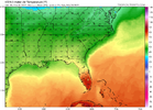
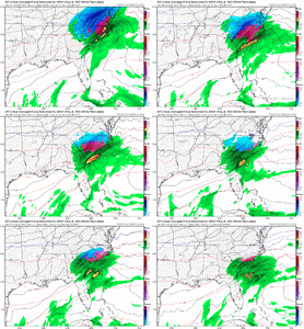
Call me Debbie but frozen precip will not be that far east with that slp track

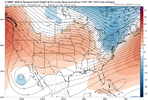
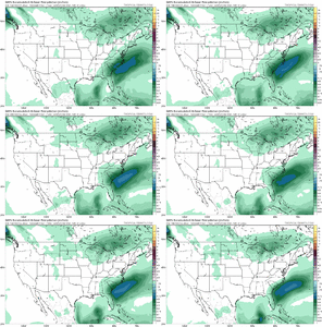
gfs_mslp_pcpn_frzn_seus_20.png
 
It'll be interesting to see how the arctic front event verifies. Currently the GFS is a southern/colder outlier with the heaviest axis of snow from the Catskills through Massachusetts, while the Euro/CMC/RGEM position it further north running through the Adirondacks. A southern track would certainly have at least some minor impacts on the snowpack/CAD strength.

It'll also be a test for the GFS which honestly has performed pretty poorly in the 2-4 day range for recent events in the NE.
 
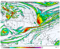
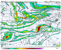
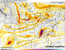
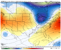
The GEM looked solid with the placement on top with the SE can vortex/ridge axis , but the southern stream wave was so weak 849ECBAA-9B3A-410A-AD71-782C622D5C49.png
 
Since this thread is active, please select "yes" or "no" over here about the new forum navigation:

Okay, no need to go vote anymore guys. The results are overwhelming to the old style and it has been reverted.
 
Back
Top