Clown emojis don't bother me. Anyway back on topic if we can, thanks.Be careful, they'll post give you the clown emoji. Even the guy from Oklahoma that never had to worry about hurricanes.
-
Hello, please take a minute to check out our awesome content, contributed by the wonderful members of our community. We hope you'll add your own thoughts and opinions by making a free account!
You are using an out of date browser. It may not display this or other websites correctly.
You should upgrade or use an alternative browser.
You should upgrade or use an alternative browser.
Tropical 2024 Tropical Thread Reboot
- Thread starter SD
- Start date
NoSnowATL
Member
They could still go somewhere, not like they have to drive to the west coast. That excuse is nothing but an excuse.I’m guessing you meant evacuate. Not everyone has the funds/resources to travel and spend hundreds/thousands of dollars on accommodations.
Sure people who were there on a trip or something should’ve gotten out of there
You're saying that you want drier air even if it comes at the pain and suffering of others with a hurricane. Totally tone deaf.It might be if I were some sort of supernatural being with the power to control the weather. Considering that I'm not (as far as I know), I fail to see your point.
It's just insensitive. There most likely are bodies yet to be discovered from a major hurricane and you're wishing for another one so you can feel a little cooler drier air. I mean come on, if you don't see the issue with that, I can't help youIt might be if I were some sort of supernatural being with the power to control the weather. Considering that I'm not (as far as I know), I fail to see your point.
Brent
Member
Anyways... The storms are gonna happen whether we want them to or not
Oh and I grew up in Alabama. I've seen my fair share of crazy weather believe me
Oh and I grew up in Alabama. I've seen my fair share of crazy weather believe me
Anyway, I'm done and you guys please get back on topic or take it to banter
10-4Anyway, I'm done and you guys please get back on topic or take it to banter
AJ1013
Member
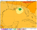
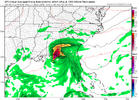
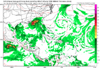
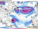
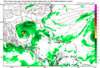
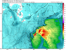
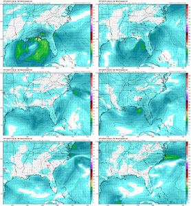
18z GFS not looking as promising. System is weaker and doesn't seem to want to phase with the trough to the NW as effectively. It is eerie that it's showing landfall literally within 20 or so miles of where Helene hit. That part of the state has been bombarded the last few years despite climatologically being less hurricane prone than other areas.
AJ1013
Member
Yeah. This run is a bust


Brent
Member
Inside 200 hours
View attachment 152305
Seriously what is with this area getting hit lately
AJ1013
Member
A bust for my potential cold front I think ideally the trough needs to dig earlier and the hurricane needs to shoot east across the FL peninsula. That's what's worked best in the past iirc.What in the hell you talking about a bust?
lexxnchloe
Member
From LC
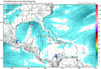
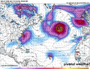
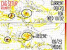
While the diminishing Hurricane Isaac (headed for the United Kingdom as an extratropical squall center) and weak Tropical Storm Joyce (middle of subtropical Atlantic Ocean fish storm) are non-players in the tropical cyclone theater, one or two of the impulses shown from the Caribbean Sea into the Congo River Basin will become a named storm. The polar westerlies are impinging on warm-core convection between North America and Africa, but are doing so erratically. That means shearing components aloft will not be present at times, and a "Kirk" and "Leslie" should appear on the hurricane roster sooner rather than later. All of the global forecast models show the system in the Caribbean Sea passing over far western Cuba into the Gulf of Mexico by next weekend, and then recurve into either Alabama or Florida. Since there will be a dogging cold trough through the Midwest, I suspect that the path of the latest storm will be through the peninsula of Florida, then turning up along or just to the left of the East Coast. Given the merger of the system with a cold low aloft and surface front, this could be a rather dramatic wind, rain and thunderstorm event in the Appalachian Mountains, Piedmont and Eastern Seaboard October 6 - 8.
At this rate the tropical cyclone season will be active until about Halloween, and a few other "cold core conversion events' may occur in November as well.
accu35
Member
Not sure why he’s pin pointing landfall way early, especially when were days before any development and where it forms at. Also, this is the same guy I believe that had Helene making landfall in Alabama.From LC
While the diminishing Hurricane Isaac (headed for the United Kingdom as an extratropical squall center) and weak Tropical Storm Joyce (middle of subtropical Atlantic Ocean fish storm) are non-players in the tropical cyclone theater, one or two of the impulses shown from the Caribbean Sea into the Congo River Basin will become a named storm. The polar westerlies are impinging on warm-core convection between North America and Africa, but are doing so erratically. That means shearing components aloft will not be present at times, and a "Kirk" and "Leslie" should appear on the hurricane roster sooner rather than later. All of the global forecast models show the system in the Caribbean Sea passing over far western Cuba into the Gulf of Mexico by next weekend, and then recurve into either Alabama or Florida. Since there will be a dogging cold trough through the Midwest, I suspect that the path of the latest storm will be through the peninsula of Florida, then turning up along or just to the left of the East Coast. Given the merger of the system with a cold low aloft and surface front, this could be a rather dramatic wind, rain and thunderstorm event in the Appalachian Mountains, Piedmont and Eastern Seaboard October 6 - 8.
At this rate the tropical cyclone season will be active until about Halloween, and a few other "cold core conversion events' may occur in November as well.
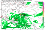
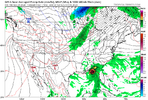
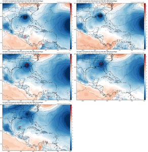
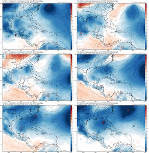
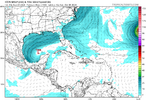
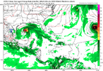
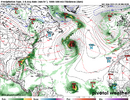
Looks like based off the GFS if that GOM storm does come to fruition, track will be based a lot on how fast that cold front tries to move through. Slower=more west Faster=more east
lexxnchloe
Member
Henry2326
Member
accu35
Member
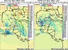
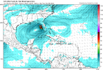
Icon brings the storm much faster before the front I believe and moves it straight north?
Henry2326
Member
A full day ahead of GFS, and shoots it east. Let's see whathappens in 00z. 12z and 18z are in the exact same spot in the gulf.Icon brings the storm much faster before the front I believe and moves it straight north?
Drizzle Snizzle
Member
I'm so sick of the stupid Gulf of Mexico. I need to move to Arizona.
lexxnchloe
Member
Brent
Member
Henry2326
Member
Henry2326
Member
Henry2326
Member
Henry2326
Member
Henry2326
Member
accu35
Member
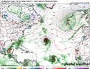
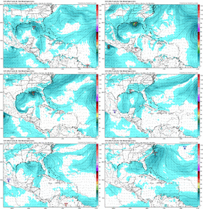
Is there like 2 systems in the gulf with gfs same time?
lexxnchloe
Member
lexxnchloe
Member
lexxnchloe
Member
Henry2326
Member
lexxnchloe
Member
lexxnchloe
Member
Henry2326
Member
Henry2326
Member
Henry2326
Member
I briefly have cell service. But anybody wishing for this ---- deserve for it to land straight on their house. You are stupid. No other explanation. However, I pray that you do not ever have to experience this. I pray that you will be safe. I pray that you will get the wisdom to understand that there is nothing good about this kind of weather.
I'm SW of Asheville. No power, no cell service(except where I am sitting in a mile long line for gas), no water, limited food, multiple huge trees to clean up, driving through tunnels of trees over downed power lines. ... And we are so, so fortunate and lucky compared to so many others. The destruction is unimaginable. I promise. You DO NOT want this. It's hard to believe I have to explain that.
I'm SW of Asheville. No power, no cell service(except where I am sitting in a mile long line for gas), no water, limited food, multiple huge trees to clean up, driving through tunnels of trees over downed power lines. ... And we are so, so fortunate and lucky compared to so many others. The destruction is unimaginable. I promise. You DO NOT want this. It's hard to believe I have to explain that.

