-
Hello, please take a minute to check out our awesome content, contributed by the wonderful members of our community. We hope you'll add your own thoughts and opinions by making a free account!
You are using an out of date browser. It may not display this or other websites correctly.
You should upgrade or use an alternative browser.
You should upgrade or use an alternative browser.
WEATHERBOYROY
Member
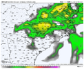
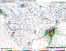
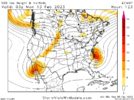
First sign of a gulf LP hour 59 on rgem just east of Galveston but disappears. Need it to deepen rapidly. RGEM seems to be indicating some sort of intensification the last couple of frames. the ICON shows a week trough progessing north out of the gulf. It seems there is a definite intensification trend much southwest over the past 24 hrs for this weekend.
NBAcentel
Member
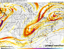
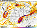
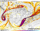
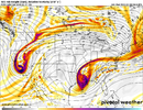
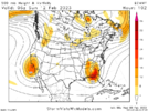
That ULL track is almost really good for Charlotte on the GFS, it actually went further south, swings further SE, not far for the big dog benchmark for Charlotte
NBAcentel
Member
iGRXY
Member
iGRXY
Member
CMC has more stream separation so far as well
NBAcentel
Member
Fountainguy97
Member
acceptable
NBAcentel
Member
NBAcentel
Member
iGRXY
Member
The CMC moved the ULL from Bristol to Vidalia, Louisiana in one run
NBAcentel
Member
Don’t know if CMC has cold enough air aloft
NBAcentel
Member
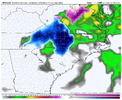
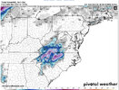
Localized crusher on the CMC
Good to see the GFS and CMC almost in lock step
It opens up some next frame after that 5 contour h5 I posted. Was lock step with gfs, same loction at that time. Why the ULL cold pool lags behind.Don’t know if CMC has cold enough air aloft
NBAcentel
Member
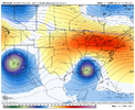
If that SOB would just slide more ENE from there instead of NE (like the 12z did), we’d be in business. Looks like it needs a touch more ridging behind it to make that work. Strong / South / And sliding more ENE is the winning formulaWe got a system under hour 100 now…View attachment 132407
iGRXY
Member
CMC loses some of the cold air aloft as it go to the Carolina which is some what skeptical. There’s at least something to track. Interested in seeing the UK as that will be a big player in whether or not I feel this thing has a legit shot. It’s always nice to see the GFS and CMC show snow but nobody takes it serious
The early UKMet maps have the upper low a touch south this run in Louisiana, but it then looks like it tracks right thru your area in NW SCCMC loses some of the cold air aloft as it go to the Carolina which is some what skeptical. There’s at least something to track. Interested in seeing the UK as that will be a big player in whether or not I feel this thing has a legit shot. It’s always nice to see the GFS and CMC show snow but nobody takes it serious
NBAcentel
Member
mydoortotheworld
Member
This would look fanfreakintastic for ATL and points north in GA if it wasn’t for the fact that surface temps are probably on fire here
rburrel2
Member
That's a nice mean for the northern upstate.
Drizzle Snizzle
Member
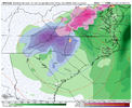
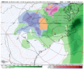
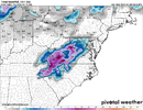
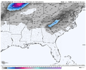
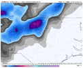
That sure is a sharp cutoff north of Greenville. Goes from like a foot to nothing in 20 miles.We gonna need a bigger boat. Gfs still honking rd 2. Reminder this weekend chance was on models at 10 day mark
View attachment 132427
Storm(maybe 2014) when like the Roanoke area was bullseye with 20+" and 5" at best in CLT?? anyone remember?
Branch
Member
I feel like if Al and Ga are in play everything downstream will do ok. Let’s get it board wide
It'll be fun to watch things materialize. Definitely do not want to be near the bullseye this far out.
Unfortunately board wide is out of the question. Think the only places that have the best chance would be SC/NC/ VA .. and they won’t all be hit hard if at all.. the set up is completely and utterly marginal at best. Only enough room for a few winnersI feel like if Al and Ga are in play everything downstream will do ok. Let’s get it board wide
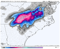
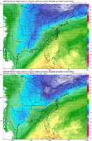
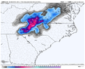
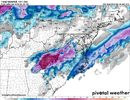
I know to take this with a grain of salt, but the Euro clown maps are coming in hot.Pretty nice looking wave pass on the Euro. Ideally it would be a little stronger
View attachment 132434
View attachment 132433
Downeastnc
Member
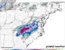
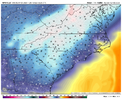
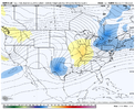
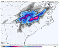
06Z NAM for what it is worth....


- Joined
- Jan 23, 2021
- Messages
- 4,602
- Reaction score
- 15,197
- Location
- Lebanon Township, Durham County NC
Downeastnc
Member
GFS still open at 66 was closed by now on 00Z....

