accu35
Member

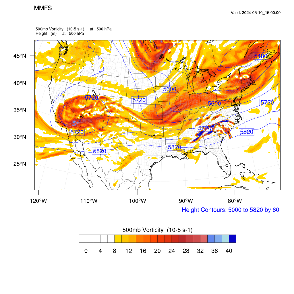
End of run with 3km
Tbh I have never seen the NAM pull out a coup in its long range. I don’t believe the American models have too much grasp on reality ever. And it’s a shame. To the point of others, models in general haven’t done that great of a job either so I’d like to see this through several more cycles of NAM, NAM 3km, RGEM, and other short range guidance to get some more confidence on trends and such. Regardless of what’s being shown now we just need more cold air. Sure we can manufacture our own with good rates and such but in a set up so damn marginal like this one I just don’t think I can trust anything throwing out large snow accumulations for anyone outside of the mountains .. and even there looks like a pasty white water mess. Give me some colder 850 trends over the next couple days or I’m not budging .. cold rain.Is the NAM reliable at this range ?
Agreed… and like I said before while I don’t put much stock into precip output from the NAM at this range, I do feel that it’s beneficial in tracking features.While I do agree to some extent with the NAM being bad, the shifts from the other globals right now are just as bad in this instance so they're all about fair game unless one stabilizes first and the rest fall in line. Remember this was a NC/VA storm a day ago and the globals all thought that?

Found the guy who got nammedWhile I do agree to some extent with the NAM being bad, the shifts from the other globals right now are just as bad in this instance so they're all about fair game unless one stabilizes first and the rest fall in line. Remember this was a NC/VA storm a day ago and the globals all thought that?
No different than the ones hating on it. Every man for himself with a ULL.Found the guy who got nammed
The NAM is absolutely valuable from 54+ because it shows you with amazing accuracy exactly what will not happen. Weather forecasting is pretty tough, so anytime you can rule stuff out, that's good!I dare you to ask @Rain Cold that question. He's likely to give you a "No" preceded with an expletive. For me, none of the models are awesome anymore. Just throw them all together and take bits and pieces from each. I've seen the NAM have good value at range


Tonight's NAM 500mb image over the Carolinas and Georgia at hr84 is the 'spittin image' of the 24hr NAM from the March 1, 2009 run...Now that’s very much a March 2009 type look


No shame here. I'm all in on gfsNo different than the ones hating on it. Every man for himself with a ULL.
This ain't what anyone in the Carolinas is looking for5 contour almost in the GOM
View attachment 132646

I use the nam as the final nail in coffin when I'm 24 hours out and it shows rainThe NAM is absolutely valuable from 54+ because it shows you with amazing accuracy exactly what will not happen. Weather forecasting is pretty tough, so anytime you can rule stuff out, that's good!
Whole board. RDPS says go pound sand Johnny Reb. Except Storm 5 lolThis ain't what anyone in the Carolinas is looking for

850 low ended up on top of ATL at the end of the run heading smack dab in between NE and ENE so it likely would’ve been a serious tread the line type of dealThis ain't what anyone in the Carolinas is looking for
While the placement is exactly the same regarding the ULL, the big difference is the 09 system had a lot more northern stream interaction. Hopefully, it works out in the end, but it'll be nerve-wracking watching it pour rain while tracking the cold-core low coming in.Tonight's NAM 500mb image over the Carolinas and Georgia at hr84 is the 'spittin image' of the 24hr NAM from the March 1, 2009 run...
1st Image: Tonight's NAM
2nd Image: NAM from 2009
The fact it dropped snow on me is better than all other runs so I take this as a win trend so far.ICON looks better in a different way. Interesting
Tonight's NAM 500mb image over the Carolinas and Georgia at hr84 is the 'spittin image' of the 24hr NAM from the March 1, 2009 run...
1st Image: Tonight's NAM
2nd Image: NAM from 2009

Hear ya, but that's why I mentioned the comparison being just over the Carolinas and Georgia. But it's still the same type of setup where it's a rainstorm that flips to snow on the NW side of a trailing closed contour upper low that is moving fairly slowlyWhile the placement is exactly the same regarding the ULL, the big difference is the 09 system had a lot more northern stream interaction. Hopefully, it works out in the end, but it'll be nerve-wracking watching it pour rain while tracking the cold-core low coming in.

RGEM
What I remember most about that 09 storm is I wound up right under its pivot point as it began its move to the NE. This one, unlike some of our board-wide WAA snows, is truly every man for himself lol.Hear ya, but that's why I mentioned the comparison being just over the Carolinas and Georgia. But it's still the same type of setup where it's a rainstorm that flips to snow on the NW side of a trailing closed contour upper low that is moving fairly slowly
I’d much rather get a snow in Mid Jan than Mid Feb, but it’s certainly better than early March.What I remember most about that 09 storm is I wound up right under its pivot point as it began its move to the NE. This one, unlike some of our board-wide WAA snows, is truly every man for himself lol.
Another thing we have going for us down here is the timing looks good rather than the middle of the day in early March.
Need the trend with the northern stream to continue another 3-4 runs


Is that to drown the heartbreak?


