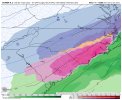
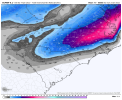
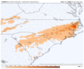
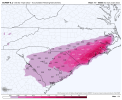
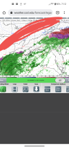
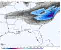
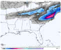
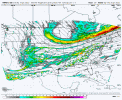
I don't normally post much but this is shaping up to be a significant event for eastern NC
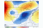
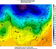
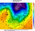
For those of us on the immediate coast, we are right on the edge of a significant icing event. Right now it looks like our temps will be 31-33 for most of the event which would limit icing. Of course if the track of the low shifts farther offshore, we could get some colder air at the surface which would increase our risk of damaging freezing rain. I don't really see a scenario where we can get the low to shift far enough offshore to give us significant snow accumulations, but I cant rule out an inch as the event ends Sat morning.
Along the US 17 corridor from Jacksonville up through New Bern, Washington, and into northeastern NC I think sleet will be the main p-type but also mix with freezing rain at times and snow possible early Sat morning. Best guess for accumulations in this area is 1-3 inches of snow/sleet and around 0.1 inches ice.
Farther inland from Kinston to Greenville back to I-95, we have the best chance of accumulating snow but even here I think sleet will mix in at times. If the warm nose is not as strong as modeled, I could see 6 inches somewhere in this region but more likely to see 2-4 inches of accumulations.
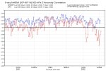
While I think models have come into pretty fair agreement on the current scenario, there is still potential for some changes in the coming days. Who knows, maybe the UKMET will lead the way and we can all have a bunch of snow here in eastern NC, but its just as likely that we will see a northwest shift at this point. It will be fascinating to see how this all plays out.


