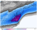
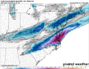
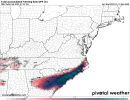
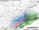
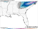
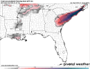
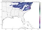
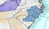
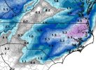
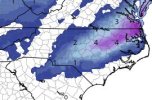
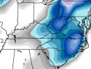
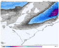
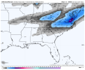
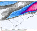
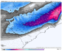
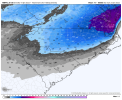
@Shaggy @Downeast..
No doubt..
From KILM 30 miles to My south.
-------------------
.LONG TERM /FRIDAY THROUGH TUESDAY/...
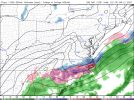
Freezing rain is looking increasingly likely on Friday. And although
there is still considerable model differences regarding ice amounts,
some guidance show that there is at least the possibility of a
damaging ice storm here along the coast.
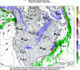
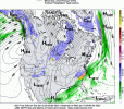
The setup is a classic one with cold air being re-enforced at the surface as high pressure
noses in while a warm nose aloft associated with low pressure
developing offshore overrun the wedge.
The warm nose grows so strong in fact that the immediate coast gets above freezing even in the
normally reliable blended thickness output. This will act to decrease ice accums in an already uncertain forecast (models often
seem to underestimate the strength of the cold wedge).
Even should this occur a change back to freezing rain is expected area-wide later in the afternoon as the deepening low passes by. Later Friday, night as the cold air deepens some sleet or snow may mix in but, the deep layer moisture will be waning fast. The dominant ptype still appears to be freezing rain through most of the event. Saturday highs will be above freezing possibly allowing for some ice melt but there may also be a good setup for black ice Saturday night as lows tumble into the 20s. The end of the period will be rain-free but will see a continuation of below normal temperatures.

