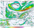
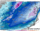
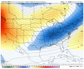
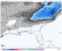
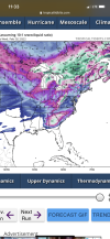
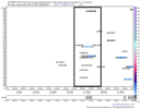
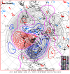
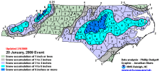
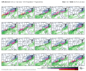
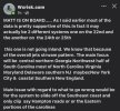
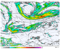
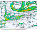
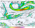
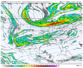
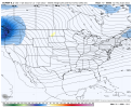
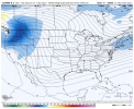
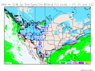
A month ago we would have killed for this look inside 100 hrs. Going to be a fun week of tracking.
-
Hello, please take a minute to check out our awesome content, contributed by the wonderful members of our community. We hope you'll add your own thoughts and opinions by making a free account!
You are using an out of date browser. It may not display this or other websites correctly.
You should upgrade or use an alternative browser.
You should upgrade or use an alternative browser.
Wintry 1/20 - 1/23 Winter Storm
- Thread starter packfan98
- Start date
NBAcentel
Member
lexxnchloe
Member
I like the set-up. We have an arctic high in a good place, not racing off east of us. This gives us a constant supply of cold air. Also, we have an arctic front south of us. It might not work out but its far better than the storm we just experienced.


Good grief you'd have to think one or the other hits big with the tough axis generally not off shore here. I just skimmed the gfs and we have about 6 waves that could be considered somewhat legit through 300hrs. This is just about the anti December patternKind of funny, the CMC pulls off this move back to back. At least we have a central and eastern trough with chances, and aren't talking SE ridges, MJO Phase 5, and bathtub sloshing ?

lexxnchloe
Member
I think in this case with a strong arctic high to out NW there is a good chance for a small SE trend unlike last time when the high was racing east off the coast.I’m not showing this for accumulation, way to early to think about that. but I’m showing this because the blend of many models, basically shows that our range looks good right now across the area with many solutions averaged out View attachment 107293
NBAcentel
Member
Gonna be the anti of this in feb then in March we’re gonna deal with this again lolGood grief you'd have to think one or the other hits big with the tough axis generally not off shore here. I just skimmed the gfs and we have about 6 waves that could be considered somewhat legit through 300hrs. This is just about the anti December pattern
brendan123
Member
I’m right in the middle of that purple in Virginia… trying not to get sucked in because of the inevitable model swings but it’s really hardI’m not showing this for accumulation, way to early to think about that. but I’m showing this because the blend of many models, basically shows that our range looks good right now across the area with many solutions averaged out View attachment 107293
packfan98
Moderator
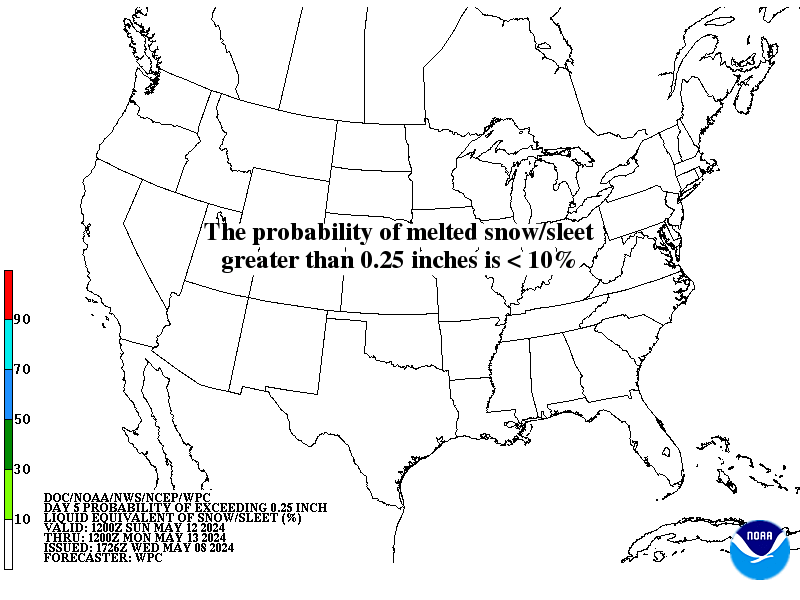
New Day 5 Map
Looking at these models this morning, I can’t help but be reminded of how the models were handling the February 2014 systems even inside 96 hours. All they seemed to latch onto with just about certainty then was a strong cold push with plenty of cold dry air getting in place, but there was so much uncertainty over the different pieces of energy. Like then, I really think we won’t get a good picture going until these waves get sampled on shore and things simply go from there
Most of our best snowstorms have that high dropping through the Midwest like that. Would like to see it in the 1045ish range, but with the front that will have moved through, cold air should be in place.I like the set-up. We have an arctic high in a good place, not racing off east of us. This gives us a constant supply of cold air. Also, we have an arctic front south of us. It might not work out but its far better than the storm we just experienced.

NBAcentel
Member
I’m more scared of this then the opposite
Snownut
Member
After this month people will probably be readyGonna be the anti of this in feb then in March we’re gonna deal with this again lol
Sent from my SM-A526U using Tapatalk
I have NO IDEA what's going to happen this weekend, but somebody is going to be happy. Could 1 wave hit, could it be 2? Anyone's guess at this point. This actually reminds me of Jan 2000 with an arctic front and a lot of energy flying around. The models were keying in on one wave and it was another that snuck in and leading to the Carolina crusher.
Cary_Snow95
Member
I think this should be pointed out. At 10am there was significant fear of an amped nw system due to a stronger WAR. Then at 1130am that switched to a fear of suppression with an elongated southern stream. All this goes to tell us Is we still haven’t locked onto the correct piece of energy. Maybe tomorrow we will see models converge on a specific piece since we will be about 72-84 hours from onset. But right now we are seeing whole sell changes. Yesterdays 12z euro had nothing, then 0z was amped. Long ways to go. 12z euro is on deck. Giddy up. Just my two cents
Downeastnc
Member
Yeah, I meant that seeing the GFS/ICON/UKMET set up the main axis of snow along the outer banks is good news for those areas. It is somewhat concerning though to see the Canadian, Euro, and the ensembles setting up the snow over Central NC and Southeast Va though. Doesn’t leave much margin for error.
I will take a blend of those two camps, there will be less nw trend this time as there won't be one consolidated storm....I hope anyways....I am rather zen about this one, it's gonna be a good hit for central coastal plains NC , I like where I am sitting.
packfan98
Moderator
Stephenb888
Member
Just glancing at this page for the first time. Seems like this won’t have much if any affects at my location or much of upstate SC. Looks like a NC, VA kind of setup. Could be wrong though, as I was yesterday.
NBAcentel
Member
L
Logan Is An Idiot 02
Guest
Just glancing at this page for the first time. Seems like this won’t have much if any affects at my location or much of upstate SC. Looks like a NC, VA kind of setup. Could be wrong though, as I was yesterday.
Just stop. You said the same thing about this last system and you got a good bit. I think you’re definitely in the game.
Sent from my iPhone using Tapatalk
Any chance that both miss with just a sliver of the Far East being impacted? This is serious cold I see I believe there won’t be much moisture involved for most on the board.I have NO IDEA what's going to happen this weekend, but somebody is going to be happy. Could 1 wave hit, could it be 2? Anyone's guess at this point. This actually reminds me of Jan 2000 with an arctic front and a lot of energy flying around. The models were keying in on one wave and it was another that snuck in and leading to the Carolina crusher.
Nobody on the planet knows for sure what’s going to happen. The 12z trends are for less phasing with the first threat. That could continue in coming cycles or could reverse. Just have to let it play out.
Sent from my iPhone using Tapatalk
Sent from my iPhone using Tapatalk
dsaur
Member
You can get a cut off low out west that spits out impulse after impulse into a split flow. Good times.This wasn't that unusual in the 70's & 80's.
We would get 2 low pressures form in the Gulf and work there way NE days apart.
There was one in the early 80's were we got 2 six inch snows in GVL county 48 hours or less apart from 2 different low pressures.
It has happened just not a lot since 90.
Our elder board members will remember.
brendan123
Member
Gawx speacil

Thanks for noting this, which would be a dream come true! I wish that were really snow on the GA/SC coast. However, I just looked at 850s and they’re above 0C (starting at +4C and ending near +1C). So, that would actually likely be ZR changing to IP late with probably little snow at most. It had 0.25” liquid equivalent here. So, Pivotal clown maps (at least UKMET) count all wintry precip as snow.
Last edited:
DT does not forecast for NC and SC tho. @BIG FROSTY do you believe he is including mount Airy in this broad state wide storm?
NBAcentel
Member
I’m liking this euro run
NBAcentel
Member
Looking ahead to these prospects, I am rooting for @GaWx and those in that area to see some frozen precip. I was hoping/expecting a lot more than what we received in Jasper yesterday, barely even a dusting and only in the last wave early evening.
But the prospects for a generational event for those folks would be very enjoyable to follow and I am wishing them all the best.
Yesterday was great for most of the board ... but am rooting for those of you who may be able to get in on some action. Good luck!
But the prospects for a generational event for those folks would be very enjoyable to follow and I am wishing them all the best.
Yesterday was great for most of the board ... but am rooting for those of you who may be able to get in on some action. Good luck!
SnowNiner
Member
I have NO IDEA what's going to happen this weekend, but somebody is going to be happy. Could 1 wave hit, could it be 2? Anyone's guess at this point. This actually reminds me of Jan 2000 with an arctic front and a lot of energy flying around. The models were keying in on one wave and it was another that snuck in and leading to the Carolina crusher.
Yeah, I agree with this. Somebody's getting something frozen this weekend in the Carolinas. However I will say depending on energy in the SW ejecting and phasing at just the right time with the northern stream is 9/10 times not working out IMBY. Never seems to eject, mainly hangs back, but we'll see.
If I had to guess right now, I'd guess some weak, late blooming wave will favor eastern NC somewhere. Kind of what the UK shows now.
NBAcentel
Member
wow
Member
Euro's barking real good .. the southern wave is stronger at 72
NBAcentel
Member

