D
-
Hello, please take a minute to check out our awesome content, contributed by the wonderful members of our community. We hope you'll add your own thoughts and opinions by making a free account!
You are using an out of date browser. It may not display this or other websites correctly.
You should upgrade or use an alternative browser.
You should upgrade or use an alternative browser.
Wintry 1/20 - 1/23 Winter Storm
- Thread starter packfan98
- Start date
wow
Member
It holds it back but it's not far at all from the Canadian.. this happens every time.. does it stay or does it go?
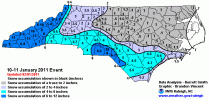
Oh didn’t say it was minor, but it was on a smaller scale when compared to events like 1/1988 and 1/2011I don’t think the 2014 Snowjam could be classified as minor. I had 4” of snow while snowing at 18 degrees at 11am. Hit -3 the next morning.
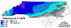
I’m not familiar with that Feb 1979 storm there… I know about 10 days later was the President’s Day Blizzard that gave CLT, GSO, and RDU all double digit snow totals with much of the snow falling with temps in the lower teens2 of the top cips analogs for day 5-6.
2011 still keeps me up at night. ?
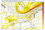
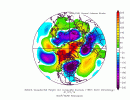
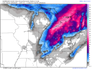
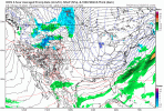
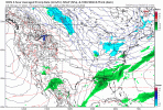
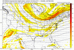
View attachment 107070View attachment 107071
brendan123
Member
Appears to be.Is that two different systems on the ICON? Fri & Mon?
114 hours out on the first wave.. not much time to get a huge NW shift. May be the first coastal Carolinas /central GA snow event in a while.
Cary_Snow95
Member
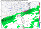
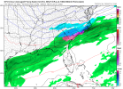
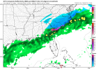
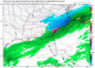
Looks to me the GFS is not holding the energy back.
accu35
Member
Hour 87 here comes the second?
Precip starting to break out.


accu35
Member
Gonna be south
Incoming cold too cold ?
wow
Member
This works for me at this stage. Doesn't quite phase in but it trended back almost blowing up.
GeorgiaGirl
Member
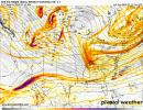
This may be a miss on the GFS, but it's going to be closer, because so far, the energy doesn't get buried.
Edit: well, it wasn't a miss for parts of central GA, SC, and parts of NC, I'd take a solution like that, lol. Gonna be interesting to see what we have on Tuesday.
Edit: well, it wasn't a miss for parts of central GA, SC, and parts of NC, I'd take a solution like that, lol. Gonna be interesting to see what we have on Tuesday.
Last edited:
brendan123
Member
Cary_Snow95
Member
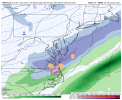
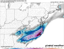
That’s a nice trend on the gfs
Snowflowxxl
Member
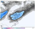
GFS looks perfect to me. Couldn’t ask for a better spot at this stage
-10 below West Virginia. 20s in NC. 12z Friday.
accu35
Member
This is so close of being a coastal from the gulf coast to the east coast
108 hrs from precip breaking out and the gfs did nail the last storm at this range. Weenie food for thought.
Not sold on the snow with the cold front, sure that will be a cold chasing moisture and those rarely work, however, absolutely love the changes with our energy and location of slp at this lead time. Anyone saying it's too far south/east/suppressed well you have the shortest memory in the existence of all mankind.
So much cold air. GFS was cold all week. Little to melting for NC Piedmont. This is how you get lowland snow in SC. This is also how you can getting nothing with suppression.This is so close of being a coastal from the gulf coast to the east coast
Snowflowxxl
Member
This is very close to what 1/28/14 was looking like at this stage, we know how that ended up ??
accu35
Member
So Thursday front could be the one? Seems that way
That's not fropa precip. That's a system sliding along an artic boundary to the southNot sold on the snow with the cold front, sure that will be a cold chasing moisture and those rarely work, however, absolutely love the changes with our energy and location of slp at this lead time. Anyone saying it's too far south/east/suppressed well you have the shortest memory in the existence of all mankind.
GeorgiaGirl
Member
So Thursday front could be the one? Seems that way
No, what happens after that front on Thursday is from something else.

