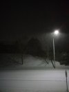
Just got back in, still snowing as hard as ever. Not sure I timed the dealership part at the hardest, but oh well. My parents said it’s still snowing back in the Triad, too, although it’s definitely much lighter.
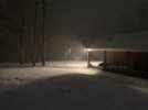
I found this on the way back. I swear I didn’t draw this. modernweenie


I found this on the way back. I swear I didn’t draw this. modernweenie