- Joined
- Jan 23, 2021
- Messages
- 4,604
- Reaction score
- 15,203
- Location
- Lebanon Township, Durham County NC
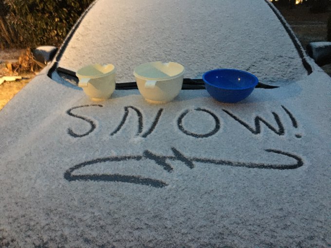
First flakes in North Durham. Let’s do it.
ATL has so many many micro climates. The massive heat island is the cause with 7 million people.View attachment 109332This pretty much says it all about winter life in the ATL.
Starting to back build to the SWPatiently waiting for that BOOM! moment on the radar

Too funny! Where are you located?I recognize that street, I think we are neighbors!
Wow, I'd say that's ahead of schedule.Nearing half an inch at the 6pm hour
Roads are whitening up
Yep, it was all rain at the airport, snow and rain at home and 36 degreed. 39 at the airport.ATL has so many many micro climates. The massive heat island is the cause with 7 million people.

The main part isn't even here yet... Relax.Not feeling too good about where I am
I sent you a PM!Too funny! Where are you located?

Central Harnett, too!It’s happening here in Western Harnett CountyView attachment 109339
Central Harnett, too!It’s happening here in Western Harnett CountyView attachment 109339