SnowNiner
Member
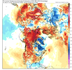
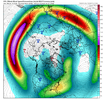
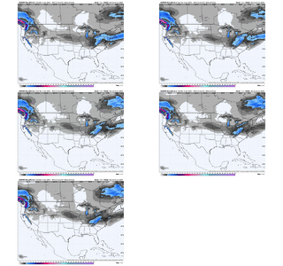
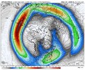
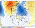
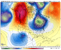
All the ensembles look pretty darn good and still on time. Transition begins 1/28 and by last day of January we have a stellar pac ridge building up into the NW territories and look good east coast. I will be very surprised if we don't see a split flow storm or two get sent our way first week of February. Best news east of the Apps is we will have way way better confluence from the NE thankfully as Fro was pointing out with this type of configuration.
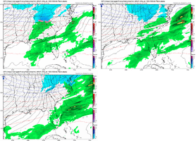
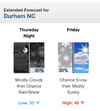
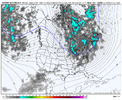
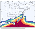
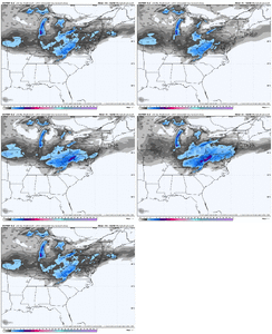
Meanwhile we should see some flakes flying Friday. Really surprised how much moisture showed up here past 2 days. Models (ops) really missed that for my back yard.
Are we sure the ensembles are showing a good pattern at the end of the month? To me, the western ridge is a bit too far east and we're still pretty warm. Too much pacific jet? I know it's early, but I don't think it's so great yet. I saw the weeklies and they looked great for mid February, but no so sure we start the month jamming.
