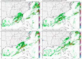
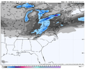
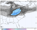
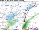
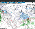
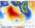
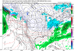
Canadian is a party pooper. I'd like to have seen it fall in line with the ICON and GFS. Hopefully, the EURO makes it 3 of four.
The more that storm cuts Southeast, the more I believe it allows the Arctic air sitting on top to move into our area undercutting that storm. Which would feed into the next system, which would likely cut further South & East. Maybe not cutting at all.That's shaping up to be a very large and impactful storm. It's nice to see some interesting weather showing up.
That’s a little reminiscent of the cold outbreak on new years 2017/2018. I can remember models haven’t trouble with that. If I remember correctly we had a pesky SER showing up again and again and finally guidance decided that cold air back west was indeed going to move east and boy did it.Demolishing the big AK block is doing us big favors.
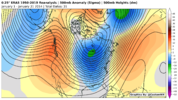
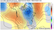
1. The -NAO is becoming the key feature (which we want)
2. Prevents amplification of the pattern
3. Speeds up the pattern over the US
Also note how the -NAO has trended stronger, from a model suite that was looking bleak before, these are some pretty positive changes
View attachment 140176View attachment 140177
CMC and GFS trended oppositelyWow. This monster is actually trending SE.
Early jan 2018 I think was a nina, and actually one of the good examples that nina years aren’t so bad, early onThat’s a little reminiscent of the cold outbreak on new years 2017/2018. I can remember models haven’t trouble with that. If I remember correctly we had a pesky SER showing up again and again and finally guidance decided that cold air back west was indeed going to move east and boy did it.
Worth noting I believe we were in or headed into a weak El Niño that winter.
End of the CMC gets the blood flowing. Potential is there for something really big. Anything can happen when you pump and stretch those heights into Canada and towards the pole. Somebody not used to winning is gonna win. If we could get an Aleutian low churning during this timeframe ?Early jan 2018 I think was a nina, and actually one of the good examples that nina years aren’t so bad, early on
GEFS is also moving things forward a bit too Wow ?
Looks like a reflection of the pulse on the western side of the IO flaring upInterestingly the GFS MJO has it going back to phase 2 and then 3. View attachment 140218
We just need it to move east a couple hundred miles.Here’s what the long range ICON has for temperatures at the end of the run. View attachment 140229
Looks frontal for sureHere’s what the long range ICON has for temperatures at the end of the run. View attachment 140229
True. Just so hard to get snow anywhere right now. Signs point to a change though.Would be a nice snowpack to help us out south of I-20 lord willing