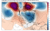
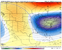
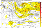
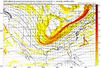
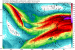
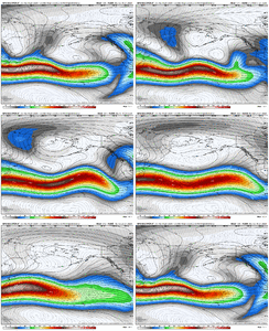
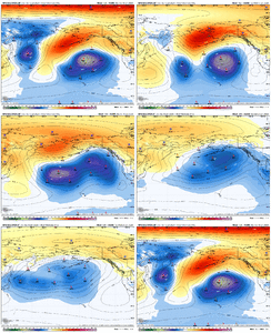
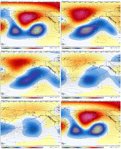
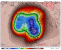
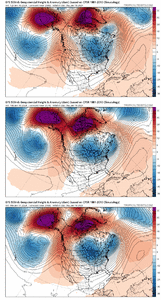
In first image here from last night's Euro, the surface high is stuck back to the west (behind the big SE Canada TPV), and the low is allowed to cut up thru WV since the heights aren't lowered off the NE coast.Thanks Grit. So let me get educated here please and make sure i have this right. We need the the TPV to be further east, so the confluence between the blocking ridge and the TPV feed south further east, over the Carolinas, rather than over the Mississippi River as shown. That allows high pressure to flow down further east, and keeps the storm track to our south.
As shown, the cold is muted because the TPV is too far west, and still allows cutters, once they gets east past the confluence over the Mississippi. Is that generally correct? Thanks.

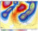
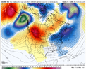
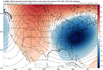
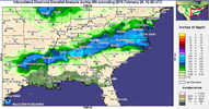
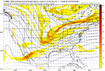
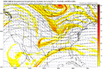
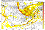
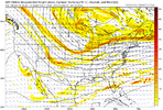
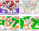
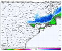
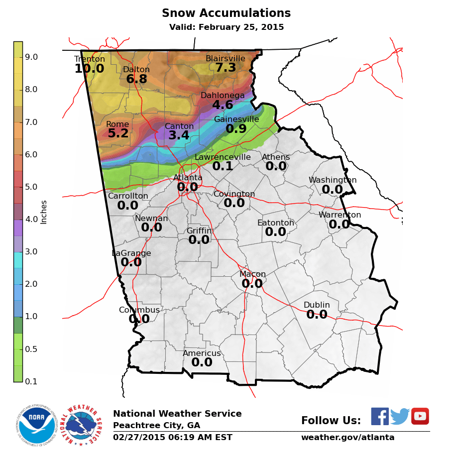
Here in this image prior to your favorite storm, the TPV is weaker, but it extends to the south out off the NE and Mid-Atl coast, with ridge behind it over MN. Sfc high in S Wisconsin. Sfc low in the gulf with wave moving east over TX. The extended, lowered heights off the NE coast don't allow the storm to cut inland - instead, it is forced to slide ENE

Many ways to get winter storms, but I'm just pointing out a key difference in the 2 setups. The Greenland Block helps to get the lowered heights off the NE coast (not the only way), but the configuration doesn't always work out each time a block / -NAO forms.

.png)
