-
Hello, please take a minute to check out our awesome content, contributed by the wonderful members of our community. We hope you'll add your own thoughts and opinions by making a free account!
You are using an out of date browser. It may not display this or other websites correctly.
You should upgrade or use an alternative browser.
You should upgrade or use an alternative browser.
Tropical 2022 Atlantic Hurricane Season thread
- Thread starter Snowfan
- Start date
Brent
Member
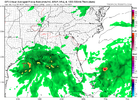
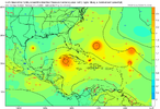
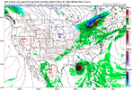
Gulf watch day 129View attachment 121304
Always at 384 hours isn't it
I'm all for easy baking the ATL latent heat transfer mechanism at this stage for Dec/Jan warmista cores, ECMWF indicates we could be pushing the later half of Sept, past peak, and at best a Gulf spin-up. I don't see anything on the radar or beyond, while not a full blown bust the envelope is closing. It's 9/7 after all, and we are still Day 10 +. It only takes 1, the likelihood of many is closing once we hit end of month.
Brent
Member
I'm all for easy baking the ATL latent heat transfer mechanism at this stage for Dec/Jan warmista cores, ECMWF indicates we could be pushing the later half of Sept, past peak, and at best a Gulf spin-up. I don't see anything on the radar or beyond, while not a full blown bust the envelope is closing. It's 9/7 after all, and we are still Day 10 +. It only takes 1, the likelihood of many is closing once we hit end of month.
Yeah it's gonna be increasingly hard to get something from the east make it across and the Western Gulf at least will start to shut down once the fronts start clearing
last couple of seasons have been so chaotic, pretty nice to have a real snoozer of a season
smast16
Member
This season is a good reminder of where we are in our understanding of Geophysical fluid dynamics and how far we have yet to go with our modeling. Hopefully the community as a whole takes a step back and can learn from this.....
The front next week is at least worth keeping an eye on for something in close. I'd also watch how the 500mb ridge acts in the west Atlantic. If it doesn't get beat down it may direct a few waves in close in about 10-15 days or potentially help pull something out of the deep Caribbean
Taylor C
Member
Keep an eye out on the tropical wave located at 10N/35W.
Shaggy
Member
Surprised there isn't more chatter about the EPS
smast16
Member
NoSnowATL
Member
We are past peak and the next 14 days look like poop. This season was and is a record bust. This is why you should never listen to predictions. Go ask Taxas AM about that!Where can I check out the current ACE?
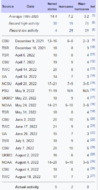
And According to Wikipedia, where like tied for lowest record of Named activity.
View attachment 121365
I know it's only Sept. 12th, and we'll probably have another storm or two, but just highlighting how much the opposite this season has been so far compared to expectations.
Last edited:
There is no way we’ll reach 17 named storms. I won’t be surprised if we don’t get into the double digitsWhere can I check out the current ACE?
And According to Wikipedia, where like tied for lowest record of Named activity.
View attachment 121365
I know it's only Sept. 12th, and we'll probably have another storm or two, but just highlighting how much the opposite this season has been so far compared to expectations.
Downeastnc
Member
smast16
Member
There is no way we’ll reach 17 named storms. I won’t be surprised if we don’t get into the double digits
Yea, I'd give it about a 20% chance of happening, and i think i'm being generous.
NoSnowATL
Member
Fishy . Sucks this look is the best we have at this point of the year.
NoSnowATL
Member
1992………
Taylor C
Member
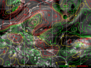
May have to watch that look on the Euro. The GFS is being the GFS, but the Euro showing the same look aloft is how we get hit and possibly hit hard with the right timing under that ridge with the trough out west.
NoSnowATL
Member
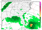
Time to watch the gulf. ?
Itshappening.exeTime to watch the gulf. ?
I've seen this before
Taylor C
Member
NoSnowATL
Member
Shaggy
Member
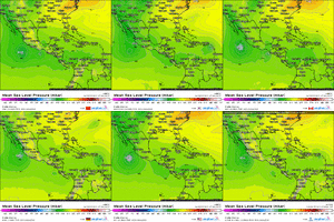
Gfs has ran more hurricanes through the gulf this year than I can vever remember. I get less fantasy snow than the goms been getting fantasy hurricanes
Downeastnc
Member
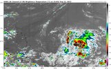
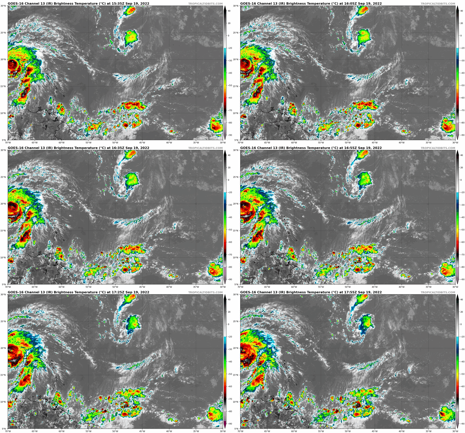
You don't need models: Just play the loop and you can see the Atlantic brewing up stuff everywhere. By far widest spread of activity all season.

 www.star.nesdis.noaa.gov

GOES-19 - Sector view: Tropical Atlantic - Band 13 - NOAA / NESDIS / STAR
Near real-time publication of GOES-East and GOES-West images from NOAA/NESDIS/STAR
Shaggy
Member
Long term gefs is quite active as well. Maybe a backend loaded season?
Henry2326
Member
Looks like the wave around 10N 45W is what gets into the Caribbean and potentially the gulf. Outflow from fiona will be an issue early as well as interaction with South America potentially but once it's in the central/western Caribbean it'll have a decent environment to get going
accu35
Member
This one is definitely the one to watchLooks like the wave around 10N 45W is what gets into the Caribbean and potentially the gulf. Outflow from fiona will be an issue early as well as interaction with South America potentially but once it's in the central/western Caribbean it'll have a decent environment to get going
Central Tropical Atlantic:
A tropical wave located several hundred miles east of the Windward
Islands is producing an area of disorganized showers and
thunderstorms. Some gradual development of this system is possible
during the next several days while the system approaches the
Windward Islands toward the end of the week and moves over the
eastern Caribbean sea over the weekend.
* Formation chance through 48 hours...low...near 0 percent.
* Formation chance through 5 days...low...20 percent.
Taylor C
Member
BHS1975
Member
Yeap no way this goes ots being so far south.This one is definitely the one to watch
Euro is going to be a day 9-10 monster in the gulf

Under the assumption something gets going the window of landfall is abnormally large with a relatively fast pattern across the US leading to a flexing and retracting west atlantic ridge, the heat ridge anchored over Texas to the west, and the ultimate strength leading to how quickly a turn gets going out of the Caribbean. Cases could be made from Hatteras to probably Honduras
Brent
Member

