I thought so. And correct me if I’m wrong we had some resemblance of the WAR correct?Yeah without a doubt it was Jan 28-29 2014
-
Hello, please take a minute to check out our awesome content, contributed by the wonderful members of our community. We hope you'll add your own thoughts and opinions by making a free account!
You are using an out of date browser. It may not display this or other websites correctly.
You should upgrade or use an alternative browser.
You should upgrade or use an alternative browser.
Pattern Flaming Feb 2021
- Thread starter SD
- Start date
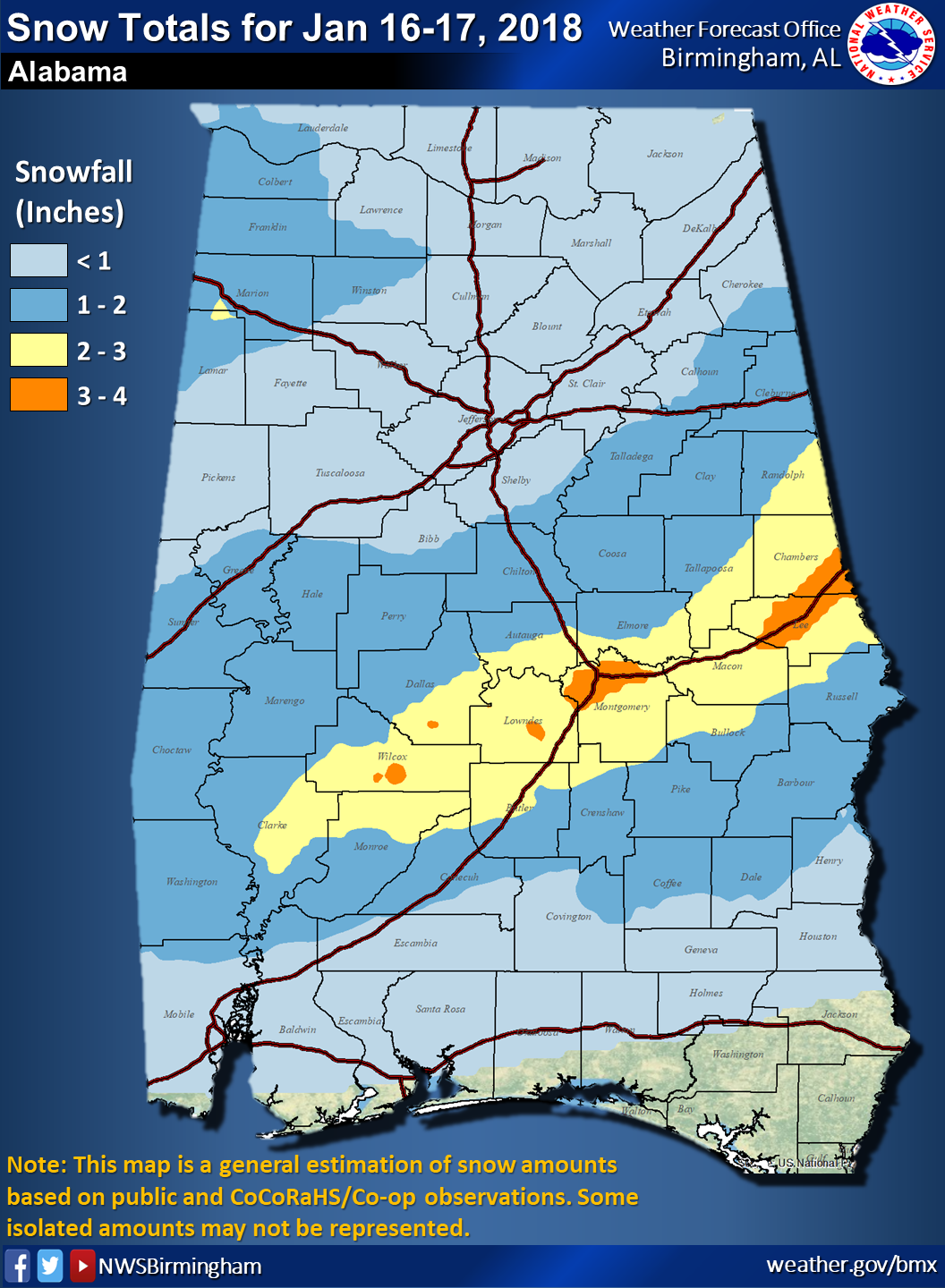
Good callJanuary 2018 was good for the 85 corridor, first time I've been in the bullseye for snow
Webberweather53
Meteorologist
January 2018 was good for the 85 corridor, first time I've been in the bullseye for snow
Hmm yeah I guess you could make a case to count Jan 16-18 2018. I'm unsure whether to denote it as an overrunning event, even though much of the precip was driven by dCVA aloft and not (modest) warm advection like you traditionally see in those cases.
NBAcentel
Member
CMCE is all in, finally blocking but possibly some deep cold with it to boot ! 

NBAcentel
Member
Hmmm, when I see energy near the baja with a deep N/S trough/TPV over the GLs my ears perk up 

Webberweather53
Meteorologist
I thought so. And correct me if I’m wrong we had some resemblance of the WAR correct?
Yeah we definitely did. Florida was was baking in that winter
olhausen
Member
I think we have a good chance or at least a lot better then the last few February’s. Even though I’ve had a lot of little snow events I haven’t had as much as 2 inches from one storm since March of 2018.And still under the average snowfall. Still only had one storm with a constant -NAO. And I am not just talking about me, but the pattern overall and what it has produced. Just hope the pattern we get will produce as well as it historically has in the past.
Jessy89
Member
Honestly not a bad look. No big storm but I'll take an inch or 2.

This thing has potential to be bigger. Tap the gulf and we are in business. Plus it’s really cold could over perform with high ratios
Sent from my iPhone using Tapatalk
GFS was seeing an NC/SC storm for Feb 7th back a few days ago. Now seems all the models are seeing some semblance of something to varying degrees but maybe a few days out into the week now and at different times. Tells me we'll get a storm somewhere that week. Just how much and exactly where still remains.
Webb, Miller As are good for Raleigh? I always thought we get too warm in this part of the state for miller-A's typically as they wind up too much.
Webb, Miller As are good for Raleigh? I always thought we get too warm in this part of the state for miller-A's typically as they wind up too much.
NBAcentel
Member
This little change is probably gonna result in a big change at H5 in the medium range 
NBAcentel
Member
More seperation with this cutoff and N/S trough early on means a more successful wave break in the medium range with a stronger trough which would mean more reinforced -NAO (CMCish like solution) before the big TPV drops down
BufordWX
Member
If the Canadian were to happen I would be below freezing for 4 straight days and probably a little longer given the run ends. That’s some next level cold right there. Lol
NBAcentel
Member
?This little change is probably gonna result in a big change at H5 in the medium range View attachment 69561

NBAcentel
Member

NBAcentel
Member
Damn we’ve made some incredible medium range adjustments 
I thought soYeah we definitely did. Florida was was baking in that winter
B
Brick Tamland
Guest
Looks like we could have a long week of model watching coming up.
D
Deleted member 609
Guest
Yep. Good pattern..Looks like we could have a long week of model watching coming up.
NBAcentel
Member
Son of a ----- 
BufordWX
Member

NBAcentel
Member
That trough early on is key, the earlier it separates and the stronger it is, as it heads easy it pumps our -NAO ridge, and can get the second TPV stuck under given a stronger block in place
NBAcentel
Member
More seperation with this cutoff and N/S trough early on means a more successful wave break in the medium range with a stronger trough which would mean more reinforced -NAO (CMCish like solution) before the big TPV drops downView attachment 69562
This run is basically the CMC so far

Close

ForsythSnow
Moderator
1 more trend south and that look is money. Its nice to see a trend to colder vs a buffed SER.
NBAcentel
Member
Bro this is insane the medium range changes are literally pants nukingly awesome 
BufordWX
Member
Goodness

Blue_Ridge_Escarpment
Member
I’ll cash out and see y’all in December.
NBAcentel
Member


BufordWX
Member
Could this do something?
NBAcentel
Member
?

LovingGulfLows
Member
- Joined
- Jan 5, 2017
- Messages
- 1,499
- Reaction score
- 4,100
Bro this is insane the medium range changes are literally pants nukingly awesome View attachment 69572
We did say we needed the SER to weaken on the models and it looks like it's happening. Get a wave to develop off the edge of the arctic air mass. Crazy thing is with the level of cold air coming in, I can see this continually trending south.
LickWx
Member
One run ago that was in the PNW. Eh. That’s some volatile model swinging .
whatalife
Moderator
Bro this is insane the medium range changes are literally pants nukingly awesome View attachment 69572
Keep in mind on Thursday the GFS also showed something for this timeframe.
Sent from my iPhone using Tapatalk
NBAcentel
Member


I can't recall ever seeing such wild swings in continental sensible weather as the EMCF has demonstrated in the medium range as of late. Anything is on the table beyond day 5.Bro this is insane the medium range changes are literally pants nukingly awesome View attachment 69572
NBAcentel
Member
Big triple phase incoming ? 
Wow crazy to say it but this is like every winter storm that hits the southeast appears out of nowhere
BufordWX
Member
Some cold nights ahead if this verifies.

whatalife
Moderator

Sent from my iPhone using Tapatalk
BufordWX
Member
