Storm5
Member
It's not snowing in Paris Mississippi to clear things up
Sent from my iPhone using Tapatalk
Sent from my iPhone using Tapatalk

Yeap read the post wrong noticed same pic from Nashville, TN I was about to say some crazy ish was happening if was snowing thereWhat? No..this is the photo that storm posted earlier this morning from Nashville, TN
Apparently its a great day to live in a town called Paris. Both Paris, TN and Paris, MS look like the big winners. I wonder if Paris, TX is next ?

I'm sure she's enjoyed some "snow" in her time
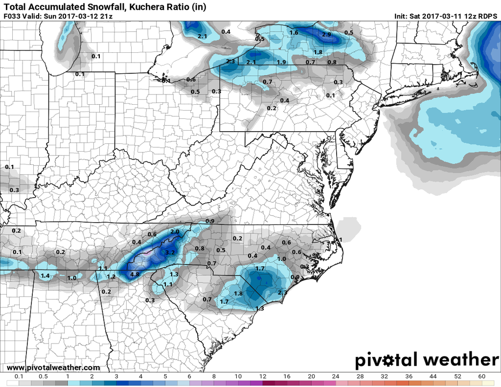
So youre still going to monteagle ?Damn the gfs joins the NAM is spanking southern Tennessee
Sent from my iPhone using Tapatalk
I'm sure she's enjoyed some "snow" in her time
It's not snowing in Paris Mississippi to clear things up
Sent from my iPhone using Tapatalk
So youre still going to monteagle ?
Yeah I saw the storm report in the LSR app but it definitely bothers me why the NWS would let that stand


Havent heard from olhausen. I wonder how his area is faring since he is not far from Nashville


6z was just enough to give me hope but the 12z took it back....only thing I'm really hanging onto is Nashville getting snow, North of any forecast model but I'm really not feeling itI was pumped with the 6z runs
Sent from my SM-G928V using Tapatalk


Actually just saw the 06z RGEM was a tad better but either way there has been an ever so slight north shift....maybe enough I see flakes fly.All in on the RGEM

After what you went through a couple weeks or so ago, you deserve it! Here's hoping!!Actually just saw the 06z RGEM was a tad better but either way there has been an ever so slight north shift....maybe enough I see flakes fly.
Sent from my SM-G920V using Tapatalk
She's doing great, getting out and about, walking everyday...coming right along thanks. I'm hoping for a few token flakes but not expecting anyAfter what you went through a couple weeks or so ago, you deserve it! Here's hoping!!
By the way, how's your Mom doing?
Best - Phil
Yikes that will eat up any token flakes I was hoping for....oh well
Not a chance - you have the Gators rootin' for you .... LOLYikes that will eat up any token flakes I was hoping for....oh well
Sent from my SM-G920V using Tapatalk
Hey - You got some!!!! More power to you!!!!!!!Temps went above freezing very quickly and melted all my snow. I'm sure even places that got much more are seeing thier snow melt very fast.
