Agreed. The threat is definitely there. No doubt. I was saying the parameters here near me seem a little off in timing for them to work in tandem. The shear increases but the Cape decreases. Your way they shoukd.line up better for sure. Shawn is going to see a nice area of both working together, but not as strong as your wayTest
I think there is confusion here.
Yes, the TOR threat is real and can happen down your way. It's just parameters may not seem as "intense" as yesterday's soundings. Doesn't mean we won't have severe weather.
For example, here in CAE the cape and shear line up better than they did yesterday, but the PDS signature is not nearly as high. It only takes one tornado...
-
Hello, please take a minute to check out our awesome content, contributed by the wonderful members of our community. We hope you'll add your own thoughts and opinions by making a free account!
You are using an out of date browser. It may not display this or other websites correctly.
You should upgrade or use an alternative browser.
You should upgrade or use an alternative browser.
Severe Two-Part Severe Weather Threat 1/19 & 1/21 - 1/22
- Thread starter Bama Ravens
- Start date
gawxnative
Member
Ok for the worth of it... Forbes has TorCon of 9 for S GA and N Fl... thinking this is highest since 4/27/11...
Using this just as a reference to the threat..
Using this just as a reference to the threat..
Warm front just made it through, dewpoint went from 59 to 63 in under an hour.
I meant southern half btw lolz...that's an impressive jump
Sent from my SM-G928V using Tapatalk
pcbjr
Member
I truly wish I had some substance to contribute here, but severe is not a topic I'm very conversant about (other than to say emphatically I hate being in it!).
Anyway - due south sustained at 20 with gusts to 35; very low streaking clouds and a Jan temp of 80º. Seems like a recipe for a potentially unpleasant afternoon.
This AM about 30 miles north of me, right at I-10 and north, local radar was showing T-Warnings extending from 1-10 into south GA.
Right now it looks like the rain has moved about 40 miles north and the warnings are all Severe TS.
Anyway - if something pops down this way and if it warrants, I'll do a PBP, but I'm really hoping for all of us in the SE that this whole thing just turns out to be a big forecast bust going through the rest of the day!
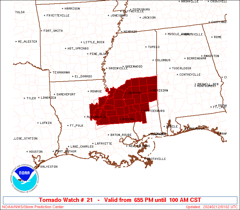
PDS tornado watch being issued soon

Sent from my SM-G928V using Tapatalk

Sent from my SM-G928V using Tapatalk
gawxnative
Member
Where are you at???OMG the severe storm heading my way is producing large hail and over 17in of rain an hr. Wow
pcbjr
Member
New (and not pleasant):
http://forecast.weather.gov/product...AX&product=PNS&format=CI&version=1&glossary=1
http://forecast.weather.gov/product...AX&product=PNS&format=CI&version=1&glossary=1
Pretty impressive airmass about to roll into the panhandle, SE Al, S Ga. I do wonder if that area of storms along and north of I10 may keep things from really destabilizing. Going to be watching the SPC meso page and metar obs over the next few hours.
Temps top dewpoints bottom


I think that will be the "sweet" spot if you will today. I'm having a little more doubts about it to the north of that. Severe threat yes, but that area looks like the best intersection of Cape and shearPDS tornado watch being issued soon
Sent from my SM-G928V using Tapatalk
gawxnative
Member
KJGX (Robins AFB) is back up.... !!!
olhausen
Member
I don't post in the severe threads often but holy cow at the SPC severe outlook today. You all stay safe down there in the Deep South.


Sent from my iPad using Tapatalk


Sent from my iPad using Tapatalk
^Holy wow, that map looks ominous! That's insane and scary looking. What does the 30% tornado risk actually mean? I assume it means the chance for a tornado within a certain number of miles of one's location. Anyone know for sure?
PDS tornado watch out and includes part of Atlanta Metro...