DadOfJax
Member
That watch area is WAY too far north IMO. Better safe than sorry I guess, but I HIGHLY doubt we see a single TOR north of a line from Columbus to Macon to Augusta.PDS tornado watch out and includes part of Atlanta Metro...
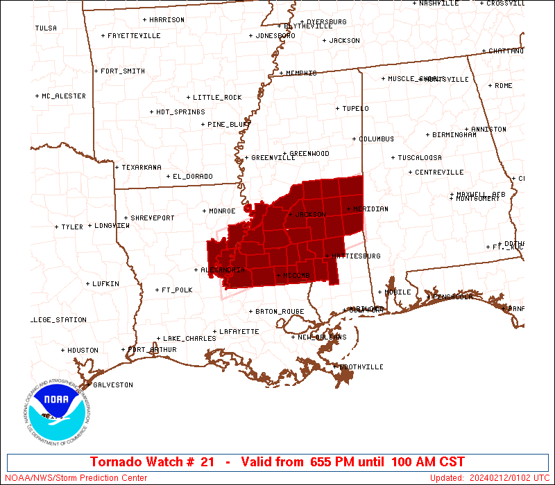
That watch area is WAY too far north IMO. Better safe than sorry I guess, but I HIGHLY doubt we see a single TOR north of a line from Columbus to Macon to Augusta.PDS tornado watch out and includes part of Atlanta Metro...
That watch area is WAY too far north IMO. Better safe than sorry I guess, but I HIGHLY doubt we see a single TOR north of a line from Columbus to Macon to Augusta.
Ditto from your old stomping grounds! - PhilI'm hoping that this area doesn't see anything bad based on steady rains continuing and, therefore, lack of sunshine and warming. If it can rain another two hours or so, I'd feel even better.
No, it's not too far north. SPC is putting north GA under a slight chance of severe weather but that doesn't mean that the tornado chance is at 0. Some thunder cells will make it above I-20.That watch area is WAY too far north IMO. Better safe than sorry I guess, but I HIGHLY doubt we see a single TOR north of a line from Columbus to Macon to Augusta.
No, it's not too far north. SPC is putting north GA under a slight chance of severe weather but that doesn't mean that the tornado chance is at 0. Some thunder cells will make it above I-20.
Sent from my SM-J700T1 using Tapatalk
Do you even know the criteria to warrant a PDS TOR Watch?No, it's not too far north. SPC is putting north GA under a slight chance of severe weather but that doesn't mean that the tornado chance is at 0. Some thunder cells will make it above I-20.
Sent from my SM-J700T1 using Tapatalk
The surface low heading northward along with the warm front will act to drag the warm sector northward. It's only going to get so far north but there are plenty of dynamics available to overcome poor low level instability
Sent from my SM-G928V using Tapatalk
Storms are firing up on the west side of Atlanta.Augusta may not even see a severe storm if it keeps raining/stays cloudy, just thunderstorms. But it looks like there's going to be a break soon, just gotta hope it stays cloudy and the sun doesn't peak out. Because if it does peak out, what I'm seeing downstream does not look good.
The storms headed toward Atlanta look healthy and could produce a severe storm or two.
WALB is reporting a well defined rotation signature around the Blountstown, FL area.

Y'all have a very good point! The shear should really increase soon and that should help them overcome the lower instability.I'm seeing tor warned cells in "not so high cape" areas and temps not out of the mid 60s.
